Hiking in The Peak District - Grindslow Knoll, Kinder Low and Mam Tor ridge walk
It's been a while since my last update. The summer holidays hit with a vengeance and trying to fit in work, activities to keep the boys from killing each other and training for a charity hike has been... interesting.
To be honest, on the whole, it's not been too bad but it has meant that I am lagging behind with videos and blogs. I put a draft of this post together just after the walk and then suddenly 3 weeks have passed and I am only just getting around to finishing it. Anyway, about 3 weeks ago we headed up north to visit Julie's parents in Maltby, and given that the weeks prior to this trip had been a period of relative inactivity training-wise due to entertaining visitors and trying to shake a horrible summer cold, I felt like I needed to get out.
Maltby is only an hour or so away from the Peak District so I thought I would take the opportunity to get out into the hills. Cornwall is lovely and I love exploring the coast path, but I do like the hills as well and I was looking forward to getting out and about in them again for the first time in a long time.
I don't recall doing much, if any, walking in the Peak District in the past; we tended to just sail on past the Peak District on the M6 and head to the Yorkshire Dales, the Lake District or Scotland when I was a kid so this would be new territory for me.
The route
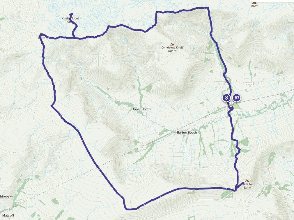
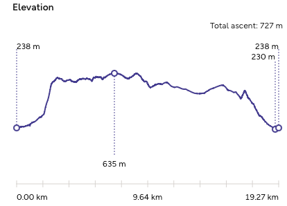
My chosen route was a loop around Kinder Scout, the highest point in The Peak District at around 636m. I needed to get some decent miles under my belt as well so planned out a 19km route that started and finished in Edale that took in Grindslow Knoll, Kinder Scout and Mam Tor.
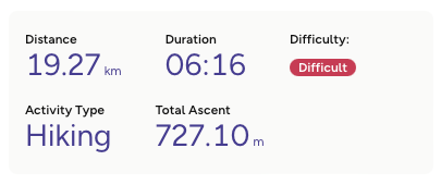
The weather wasn't great to be honest, it was grey and overcast and rain was in the air. The last few days had been glorious sunshine so it was a bit of a let down, but as least I wasn't getting cooked.
As I was staying away and didn't want to disturb the whole house (and I wasn't in my own kitchen) I decided that I would take advantage of the camper and have breakfast in the van before hitting the trails. It was a gourmet breakfast: All Day Breakfast in a tin. These things are terrible really but they are very much a guilty pleasure of mine.
I got to the bottom of Grindslow Knoll for around 9:30am and headed up. As this was a circular ridge walk, the majority the ascent was in this initial climb (Grindslow stands at 601m). This is the main difference in the terrain from the coastal walks. The coast path is undulating and there are lots of 50-100m climbs and descents all along the route, and they rack up to a hefty figure by the end of the walk, but with ridge walks like this one, the ascent is front loaded and I did have to stop to take a look back and catch my breath a few times despite being fitter now than I have been in a long time.
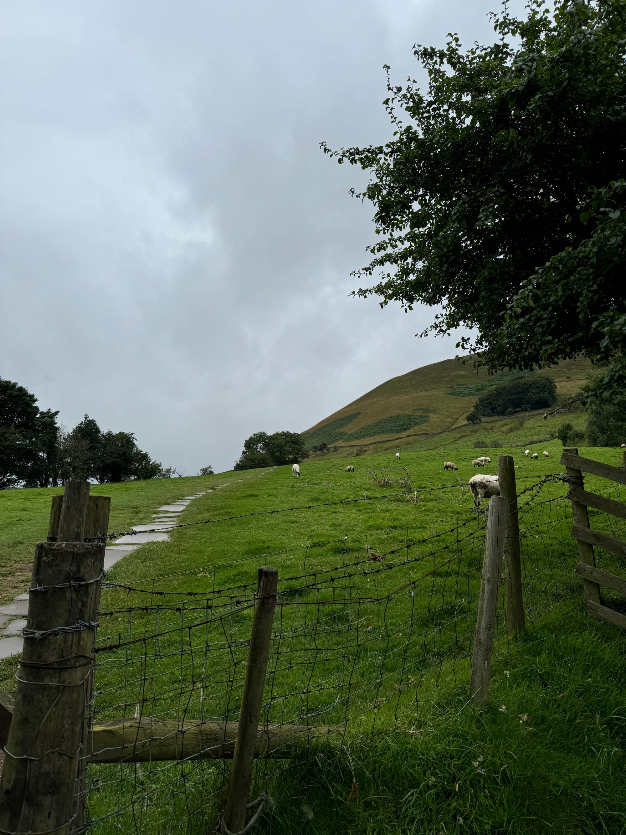
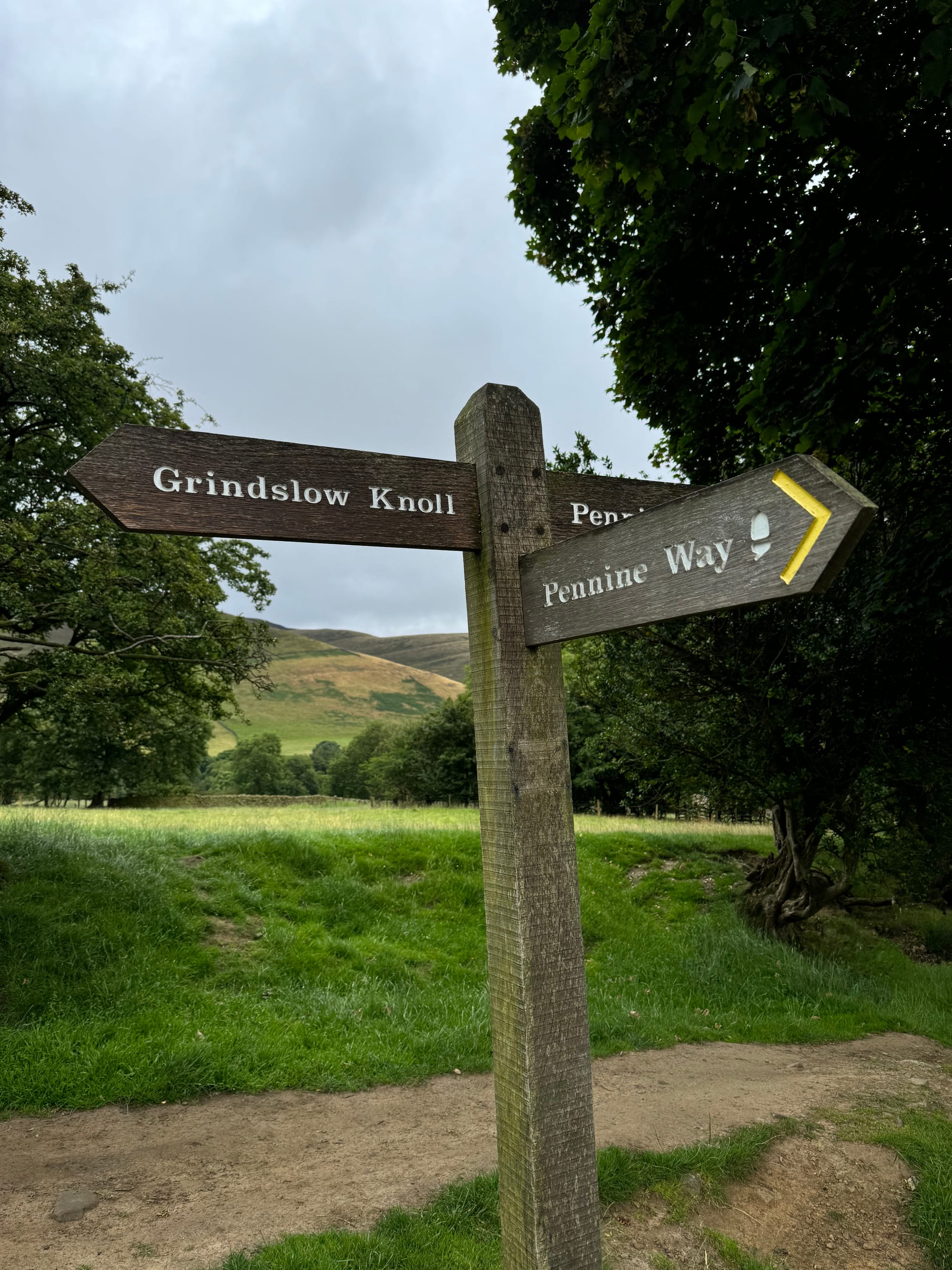
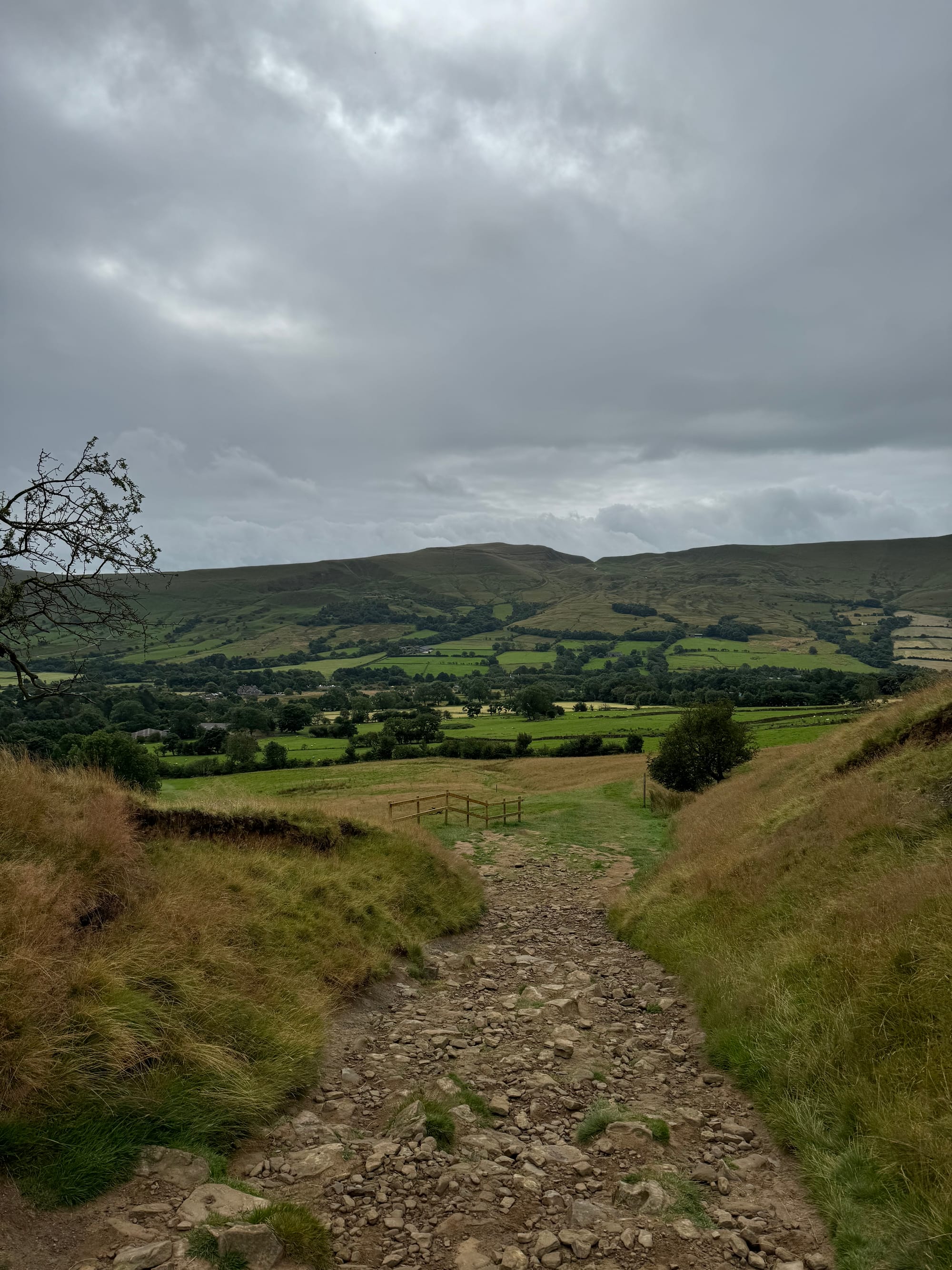
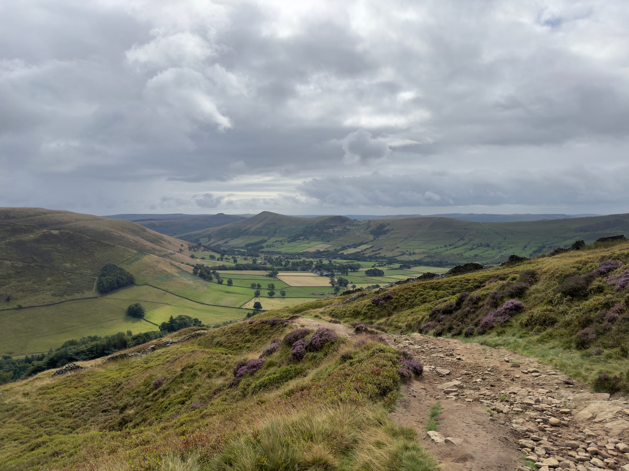
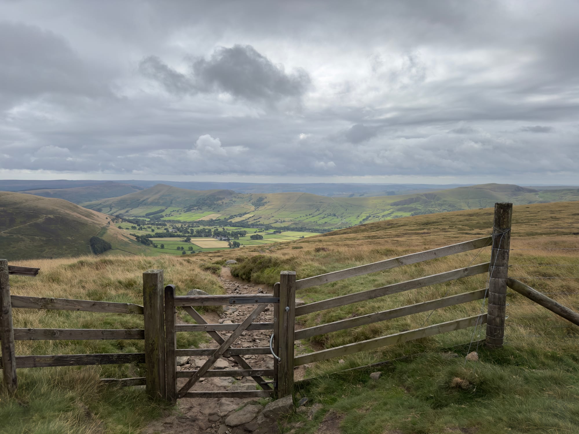
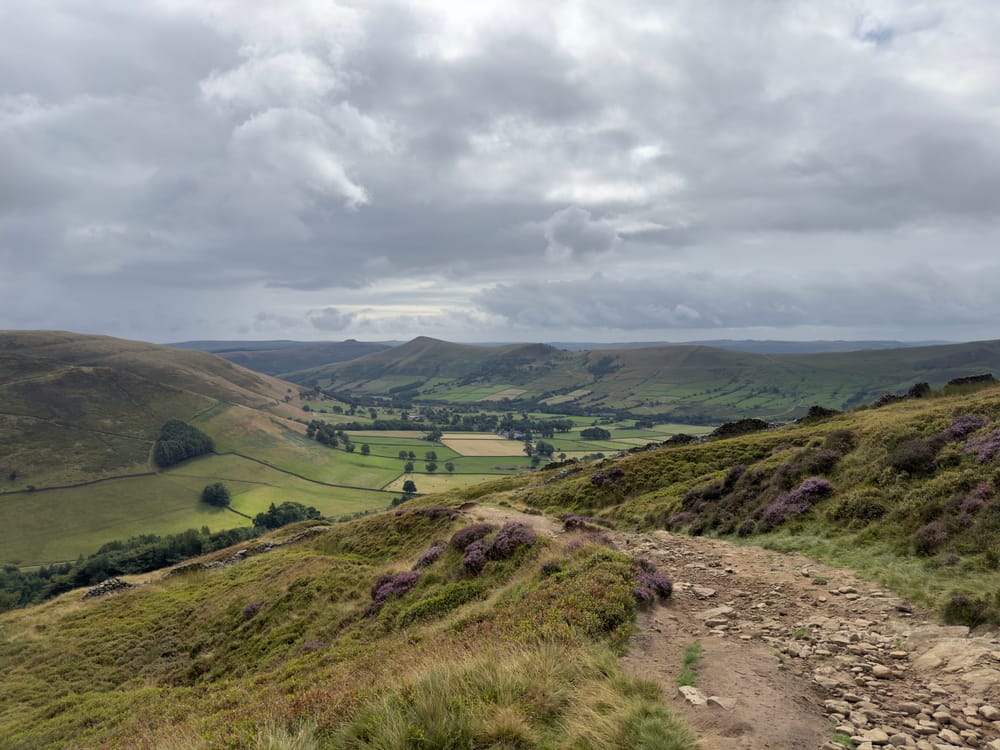
The path up Grindslow Knoll looking back towards Edale.
I got to the top of the first climb at around 40 mins into the walk at 10:10am and it was blustery up top. I had hoped to take the drone out for a quick flight but I would never have seen it again.
The summit was empty with the exception of a mum and daughter (I think) who didn't look particularly prepare for the conditions. One rucksack between them and they did not appear to have much in the way of spare clothes for changeable conditions, and they also did not have a map; they were reliant on Google Maps and were looking for a route to Kinder Scout whilst looking it up on Wikipedia.
This sort of stuff makes my head hurt. Why would you come up here with barely and kit and no map? Now there is a disclaimer at this point in that I also did not have a paper map of this route, I had intended to bring one but left it back in Cornwall and couldn't find a shop locally in Edale that sold them (I found one on the way back to the van after descending the ridge though...) BUT I did have the OS Maps app with a downloaded, offline map and route planned out and a battery pack. I knew where I was going and had a detailed enough map to properly navigate, even if it was digital.
Google/Apple Maps are just not suited to the outdoors. They are good for finding your nearest cafe in town, or for driving but they are useless on the trail. Being a Good Samaritan I apologised for eavesdropping and asked if they needed any help finding the path, they were appreciative and I set them on their way.
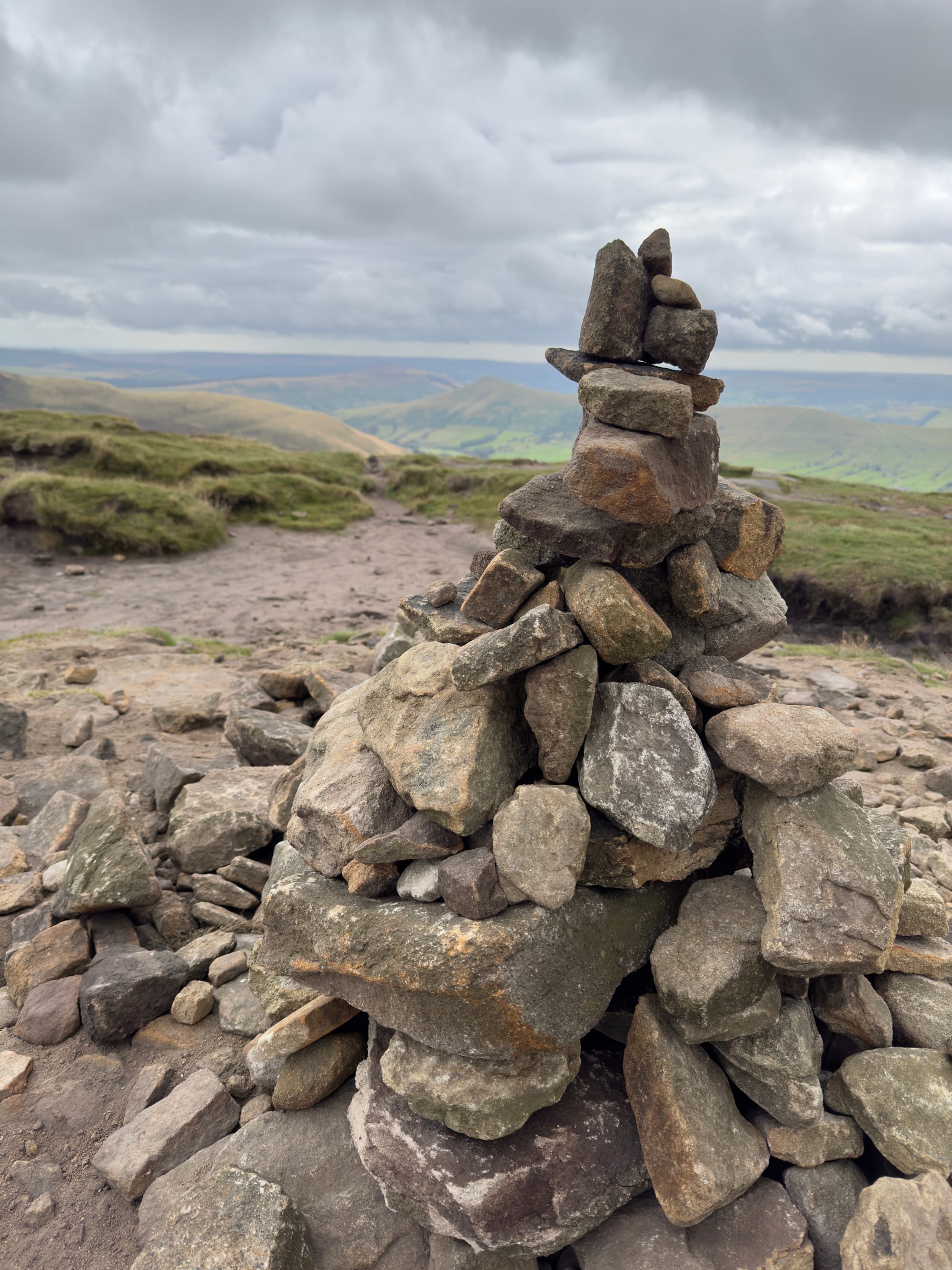
With the initial climb out of the way I made my way down from the cairn and followed the ridge along past some waterfalls towards Crowden Tower and then on to The Woolpacks; a unique formation of weathered rocks and boulders the Kinder Scout plateau.
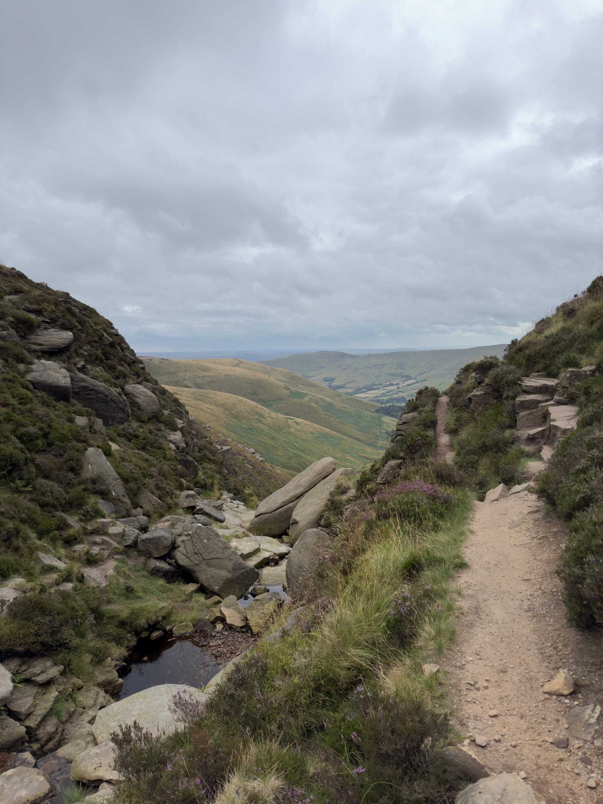
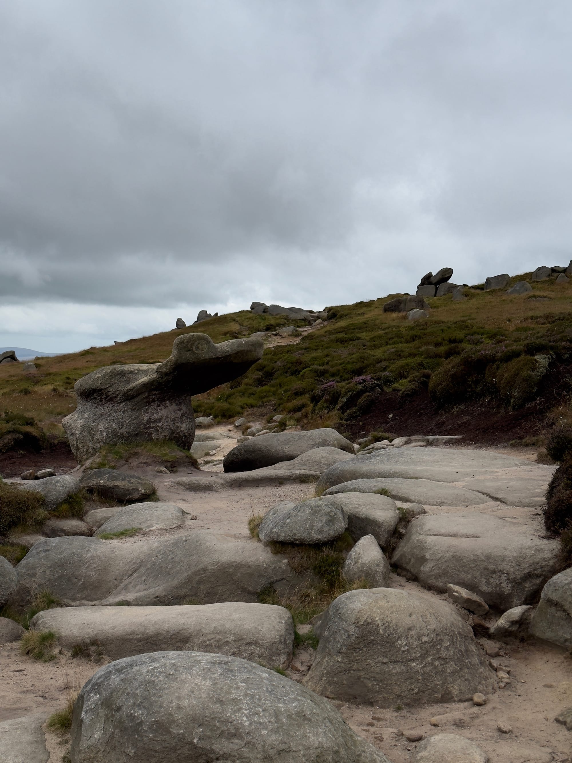
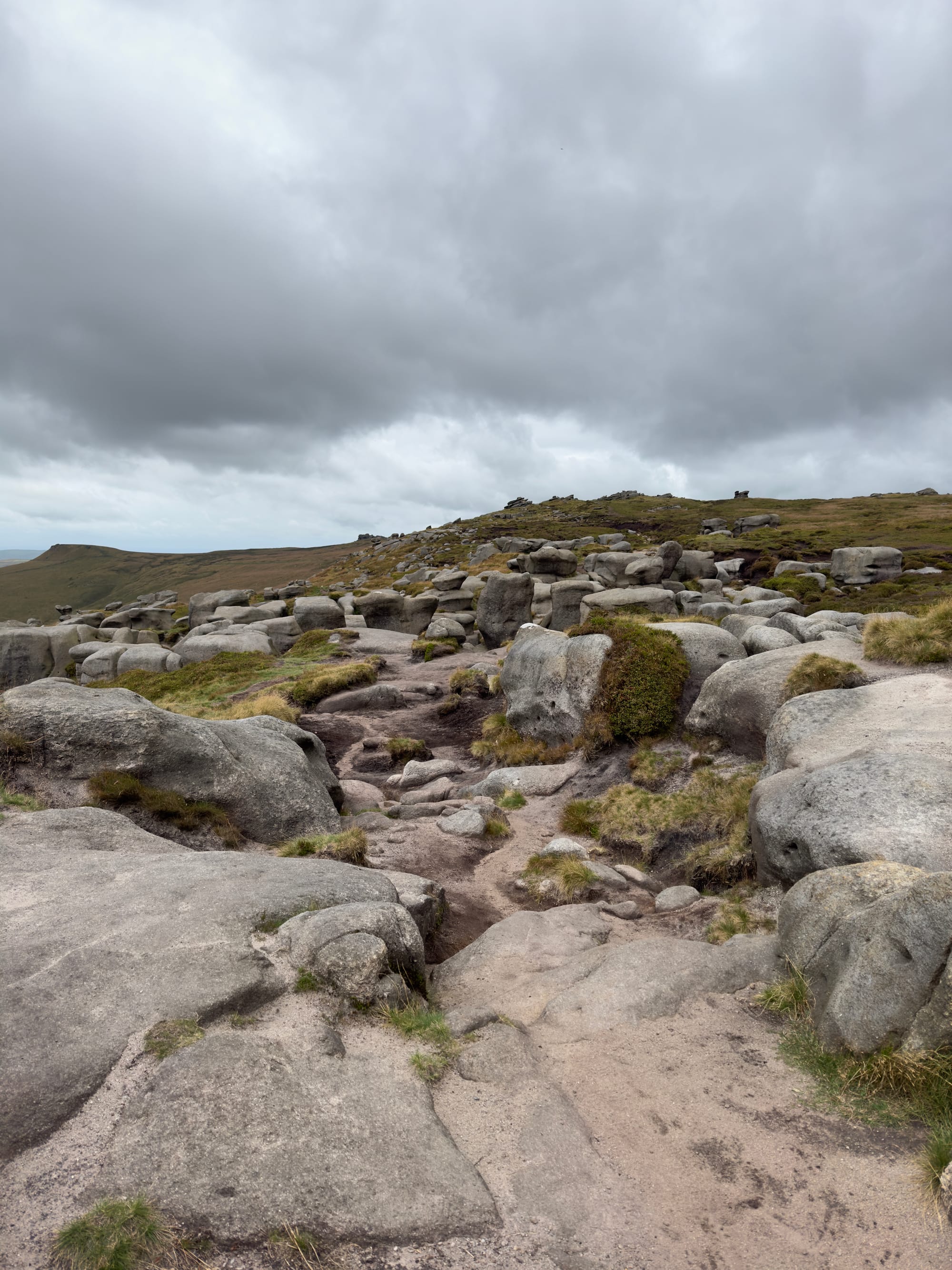
It was still very misty on top which provided quite an eerie atmosphere amongst the almost statuesque rock formations. The path was quite hard to follow at this point, it disappeared amongst the rocks and the terrain was spongey and peaty so it was just a case of picking the path of least resistance through and picking up the path again on the other side.
The path down from Grindslow was very good over all, it has been well built and maintained by what I assume is a group of dedicated volunteers and it made the walk easy compared to some of the coast path sections I've done recently.
From the Woolpacks I continued around the ridge to the summit of Kinder Low (633m) where I started talking to an old local man who appeared to climb this peak regularly. After a little chat about my route, he tried to convince me to go down Jacobs ladder and through Upper Booth and back into Edale. I told him I was headed around the ridge to finish up on Mam Tor, he told me it was a long way but that I was "young and fit" so would probably be ok. I'll take that.
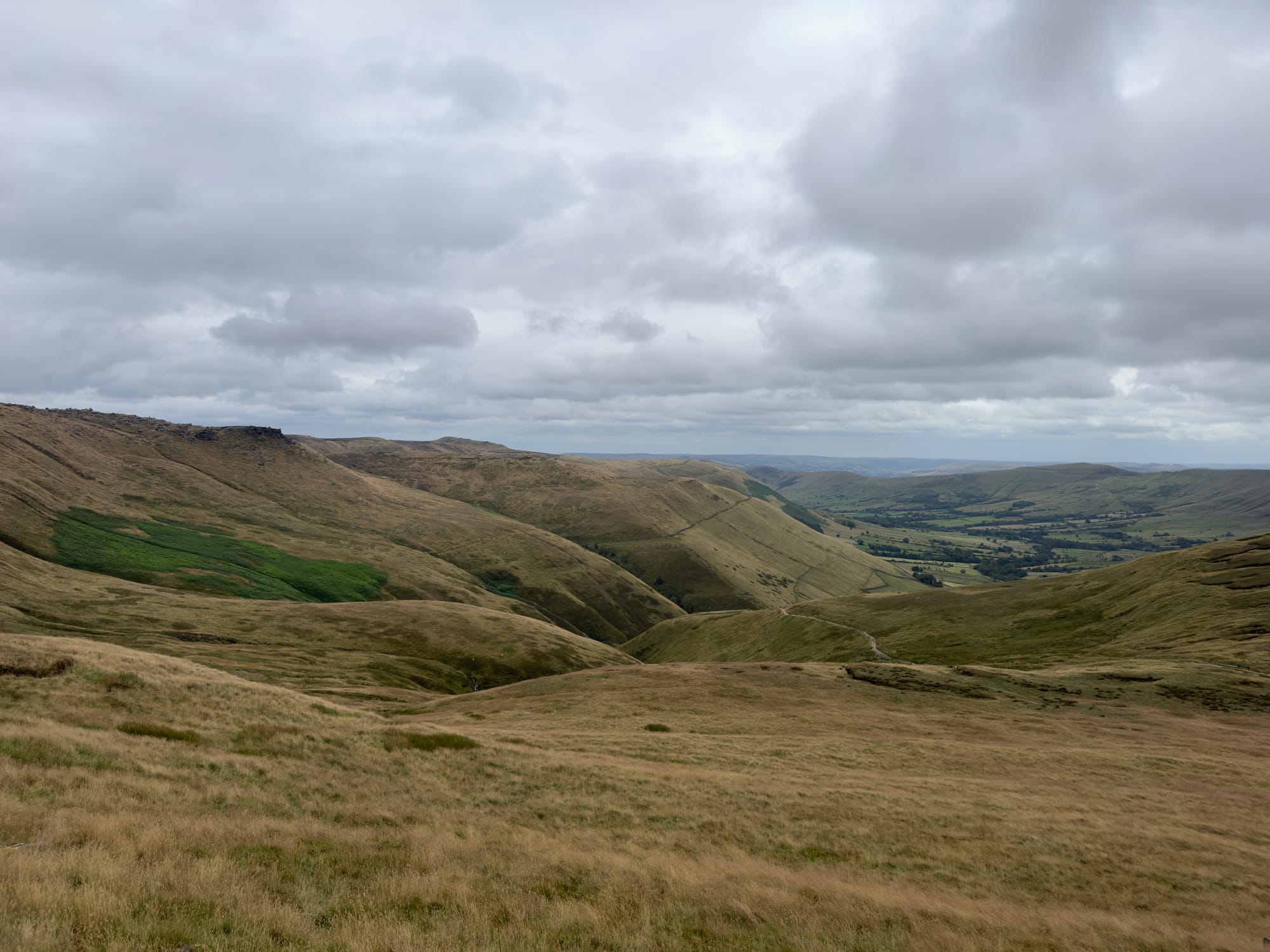
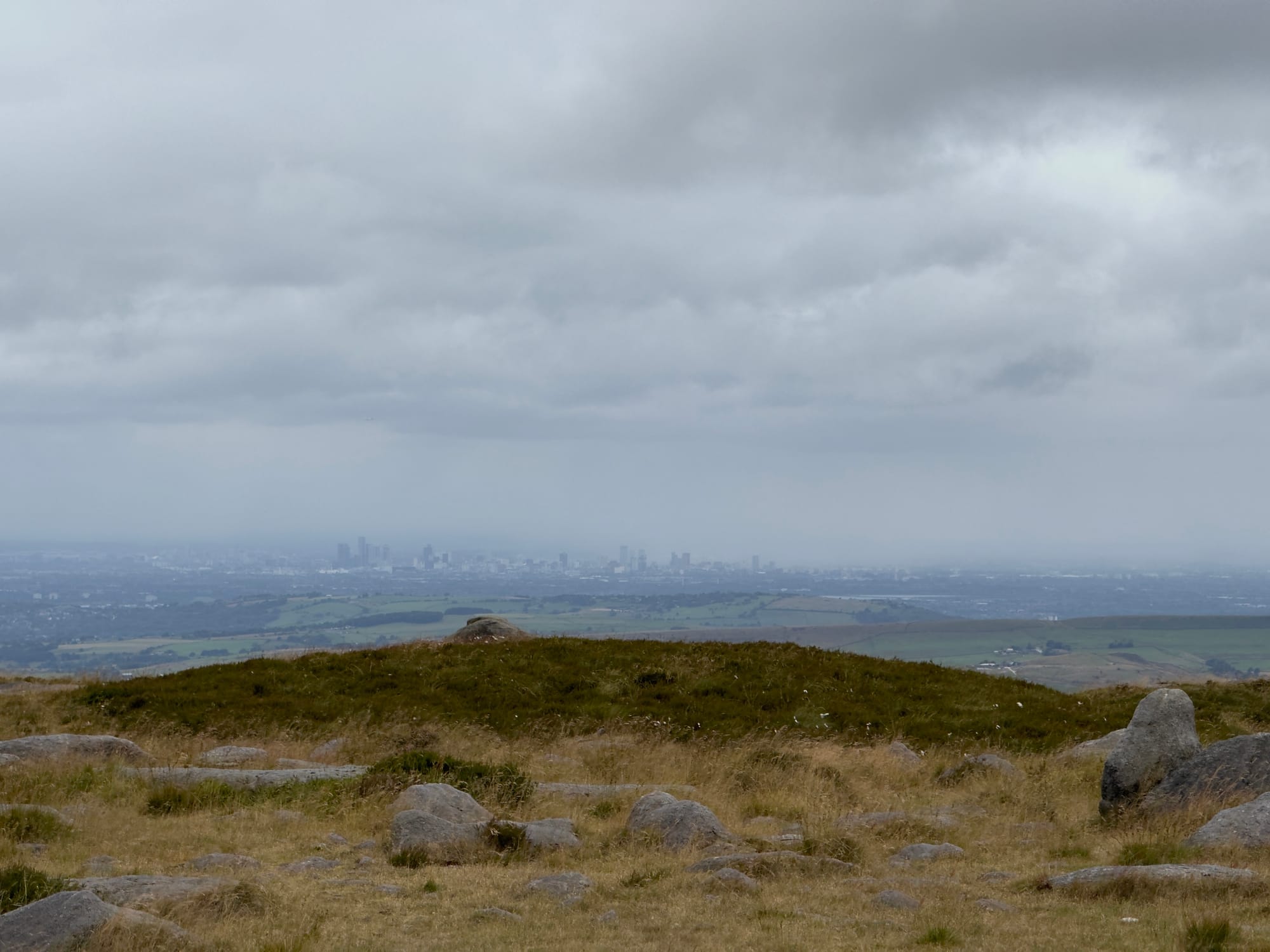
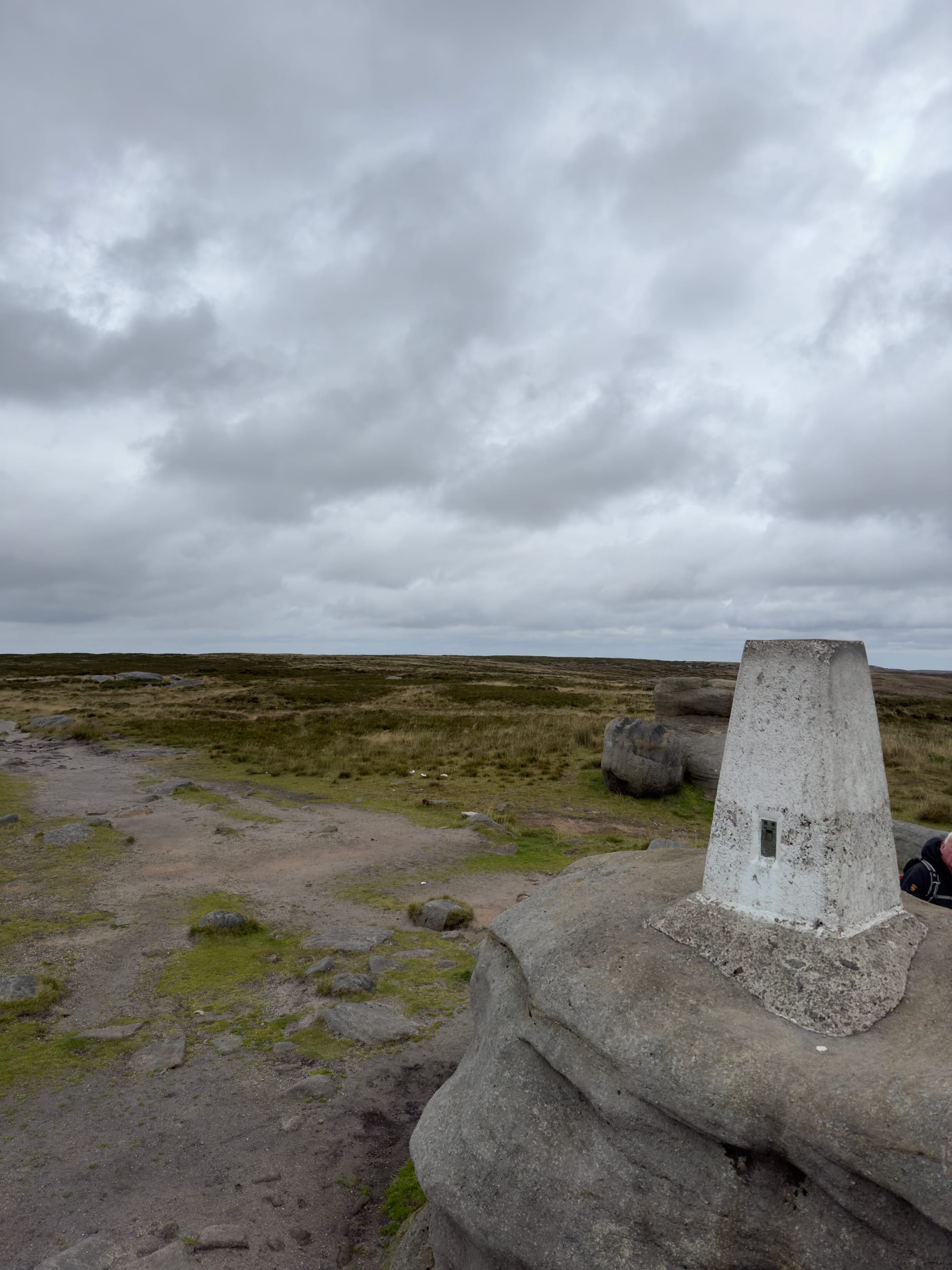
I continued along the ridge past Swine's Back and the junction for Jacobs Ladder and carried along to Brown Knoll. It was at this point that the weather really closed in and rain set in. I stopped at the cairn to get my jacket on and put the rain cover on my bag. Now... the rain cover caused me an issue. I was using my GoPro Seeker rucksack which is marketed as an outdoor lovers dream and for the most part it is and I love it, but a massive missing feature is the lack of a rain cover. I have a generic one that fits on almost any bag but the wind was howling, it was chucking it down and by the time I had got the cover on, the rain had stopped! GoPro, if you are reading (you won't be) YOU NEED A BUILT IN RAIN COVER.
The walk from Brown Knoll to Mam Tor was pretty bleak if I'm honest. The landscape was a wide plateau rather than a narrow ridge and there was not much to look at in amongst the low cloud, gloom and rain. It was beginning to feel like a bit of a trudge.
After a little while, the cloud lifted and the views opened up as I headed towards Lords Seat on Rushup Edge. It was still overcast but the mist had lifted and I could now see all of the ridge I'd walked, Upper Booth and back down into Edale.
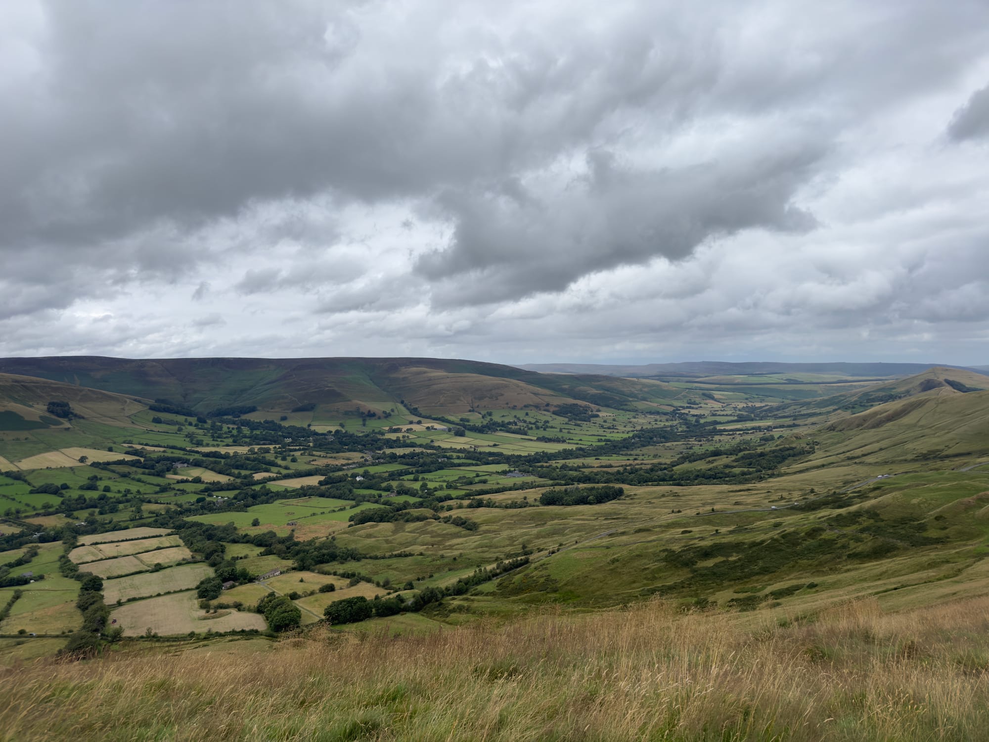

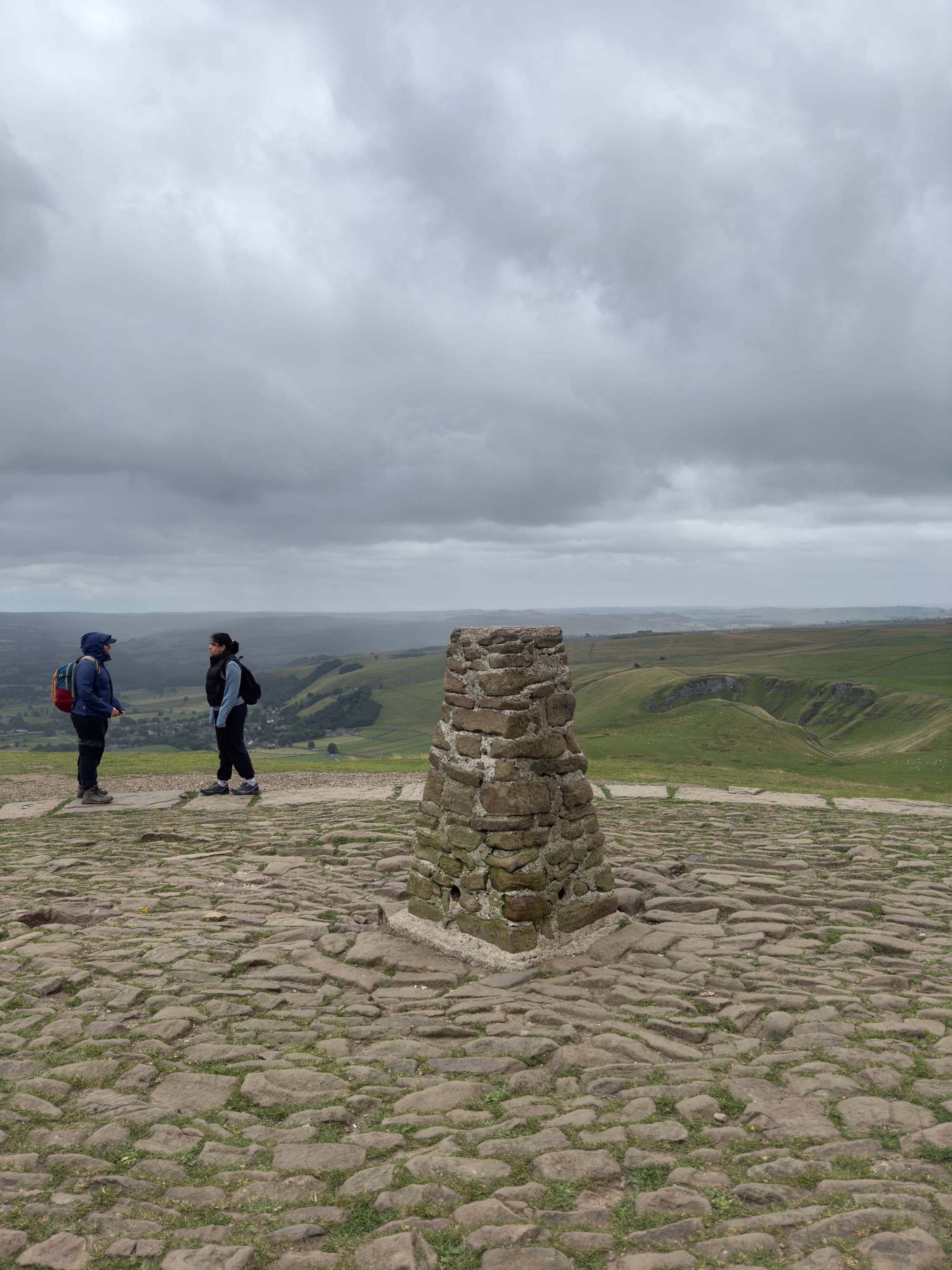
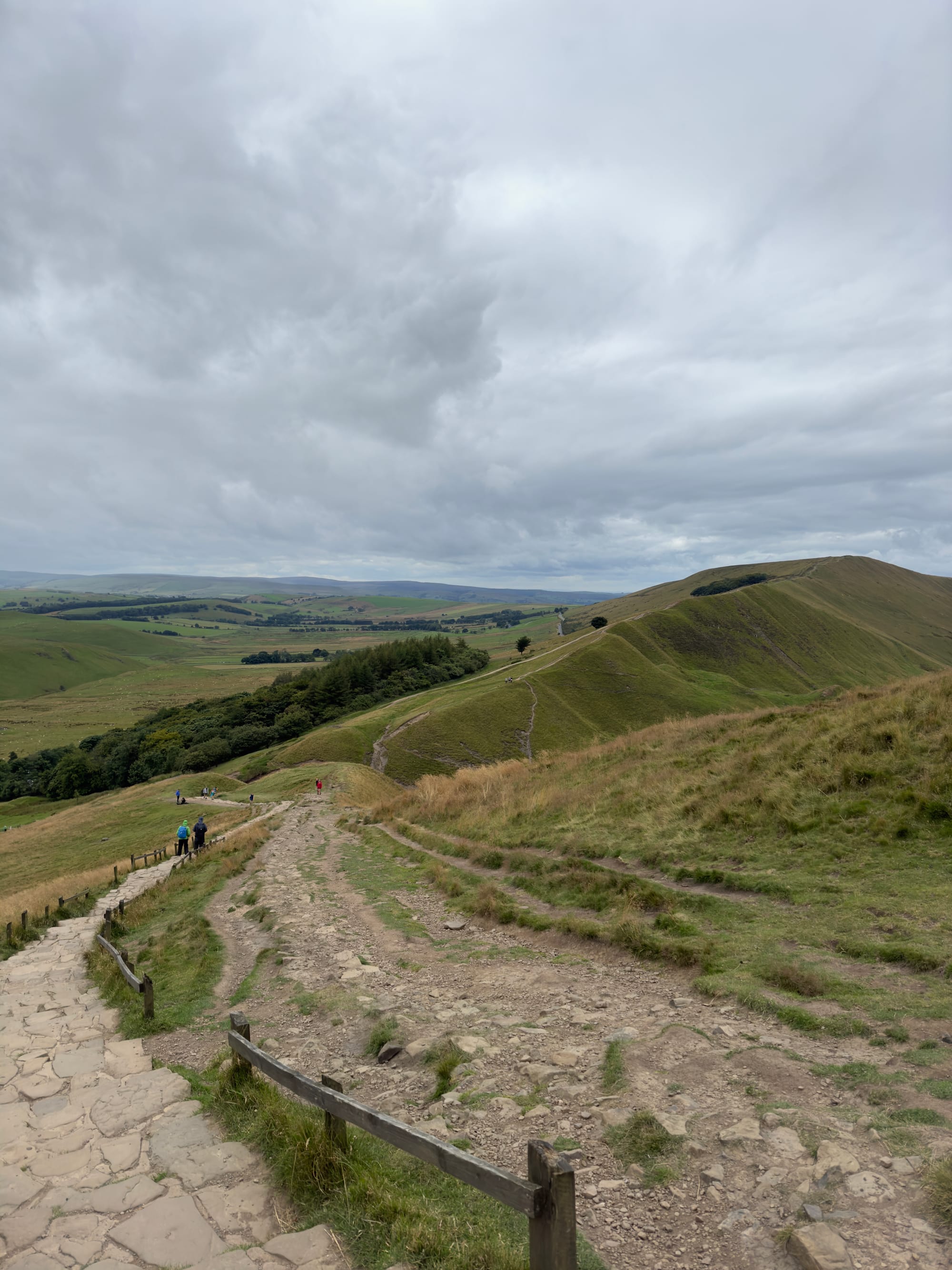
The walk up over Rushup Edge was pretty straightforward and I had a clear view of Mam Tor ahead of me and I could see it was busier than the rest of the walk. I realised as I got clover that Mam Tor is a National Trust site with a car park at the bottom, so it was full of people heading up and back to grab a photo of the view.
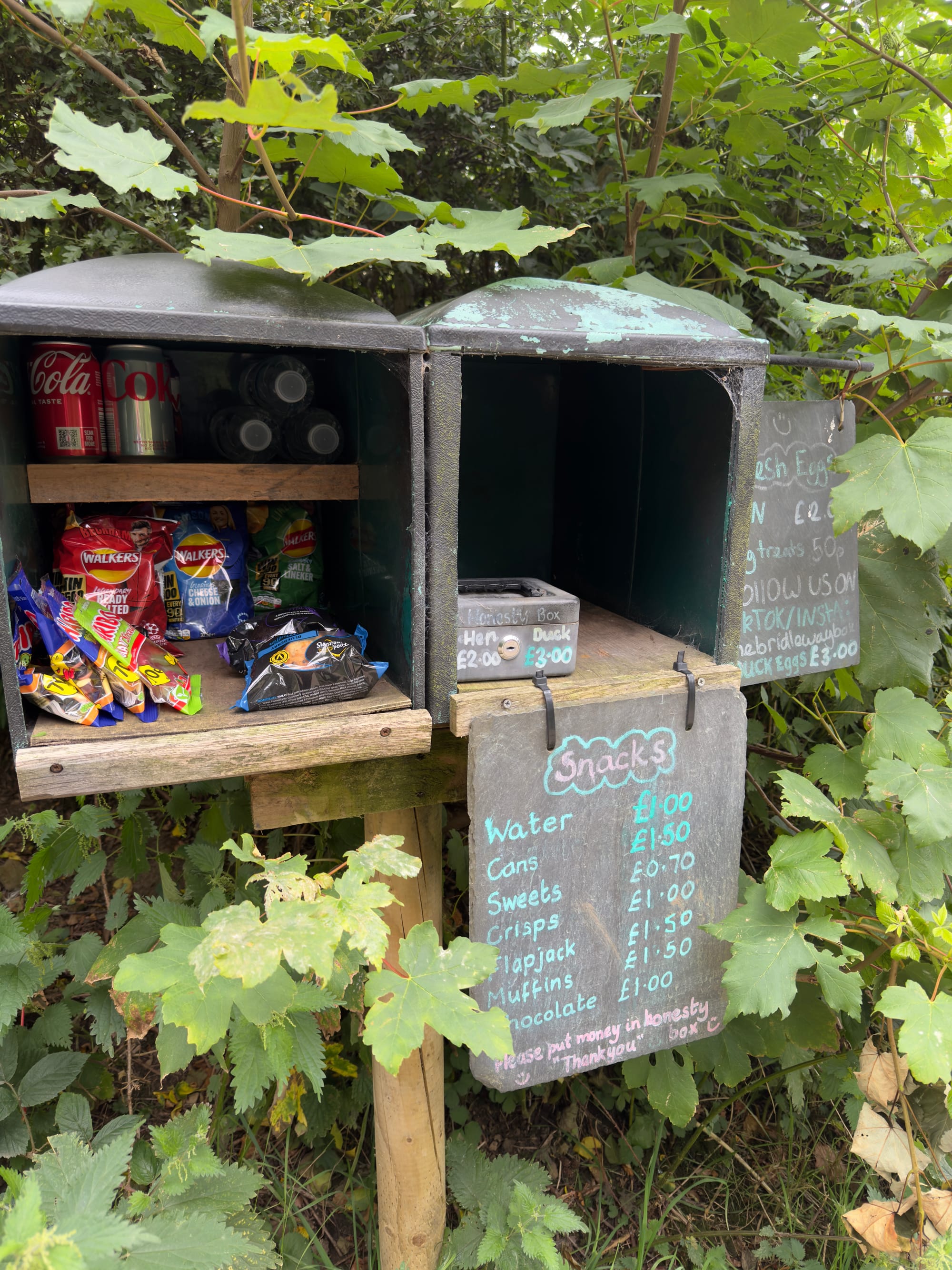
I ended up taking a few family photos for a German family and then dropping back down into Edale. On the way down I past an honesty box situated on a farm gate that was actually pretty fairly priced, there was also a space for some farm-fresh eggs but sadly they were all gone by the time I got there. I didn't need any of the rest of the goodies there, so left it alone and headed back towards the van.
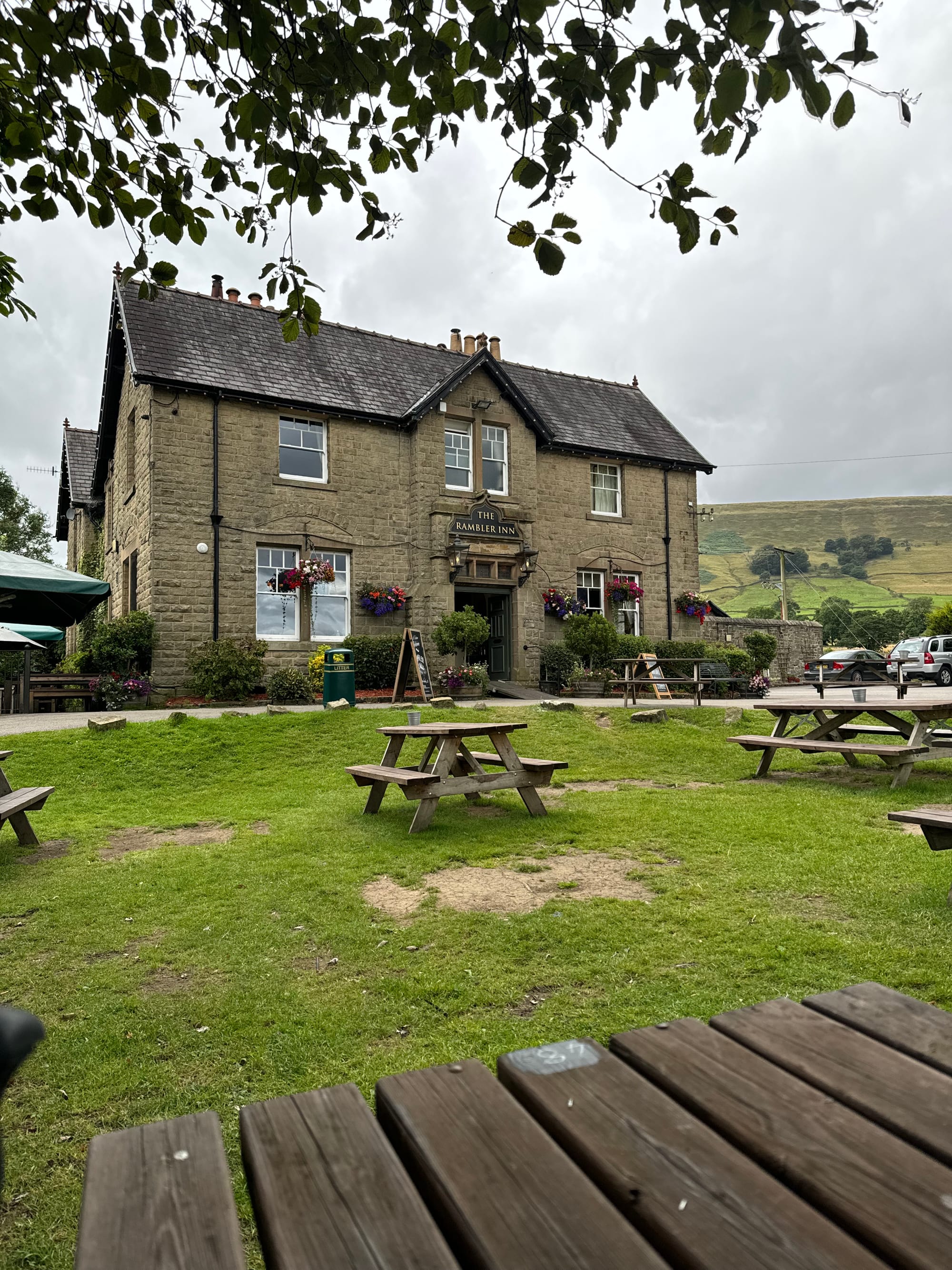
By the end of the walk I'd covered about 18kmin just under 5hrs so I headed back to a pub I walked past at the start of the walk, The Rambler Inn for a quick drink before heading back to Maltby.
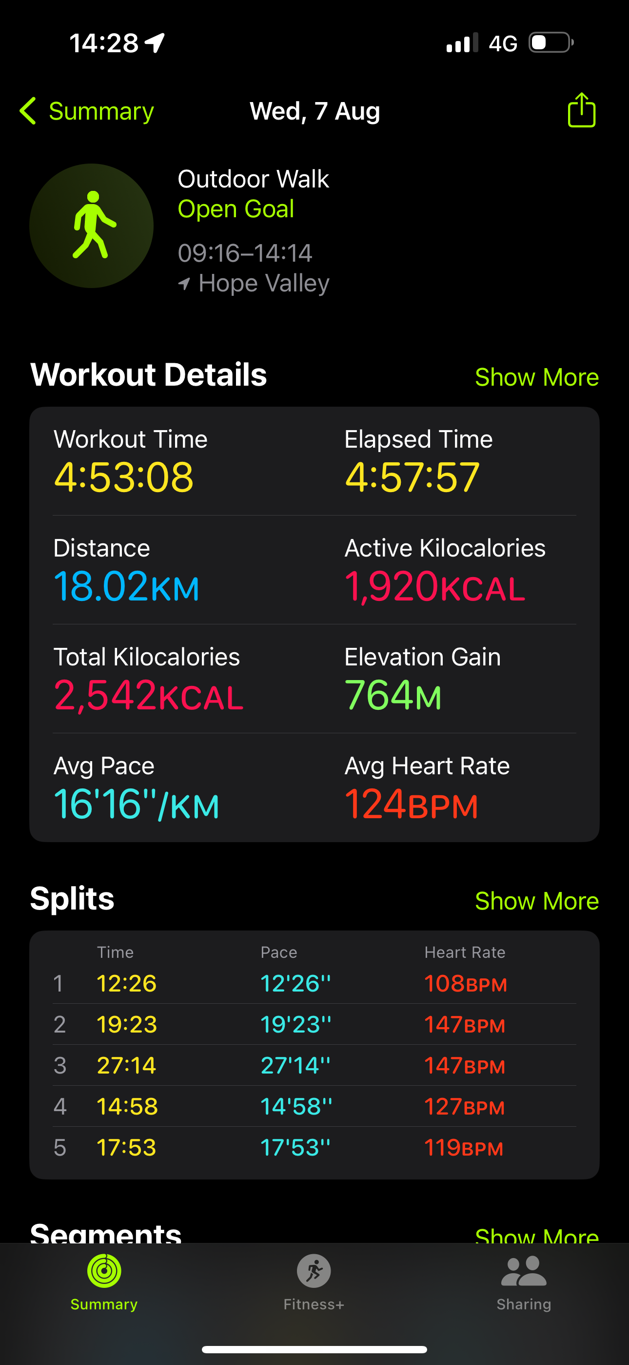
Only a few more weeks to go until the Mighty Hike, a few more kilometres under my belt and a few more Strava points. Over the next few weeks I'll do a few more coast walks and cover some more of the coast path in prep. I am nowhere near the training program requirement for this walk, and honestly I can't see how anyone with a job and a family can do it.
I'll do what I can and battle through the walk on the day.
