Luxulyan Valley & Carlyon Bay
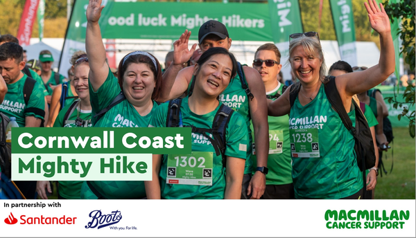
Another weekend, another early start and another training hike for the Mighty Hike in August. This time with added pubs and a record fair on a tall ship...
The weather wasn't as good this weekend as my last walk, but it was due to be dry which is enough for me. Again, I opted to walk from home and not wanting to do the same loop as last time I had to look inland and head north and then east, rather than south this time. Luckily there are some stunning woodland trails around here, along with the Clay Trails. This meant that I could still take in some coastal walking, but also explore some other bits of the local area that I have not had a chance to yet.
The route would take me up through the town centre and out towards Menacuddle well and onto the Clay Trails. Then it was up through the trails to Luxlyan where I would pick up some of the Saints Trail and head down into St. Blazey then on to Spit Beach, along Carlyon Bay and into Charlestown. Around 27km in total, pushed up to 30km when you include the walk back home from Charlestown.
Despite being a bit longer than the last walk (intentionally building distance), the elevation was nowhere near as tough. A mere 588m of ascent, compared to about 1300m on the last walk. It would still give me a decent work out though.
St Austell - Menacuddle Well and the Clay Trails
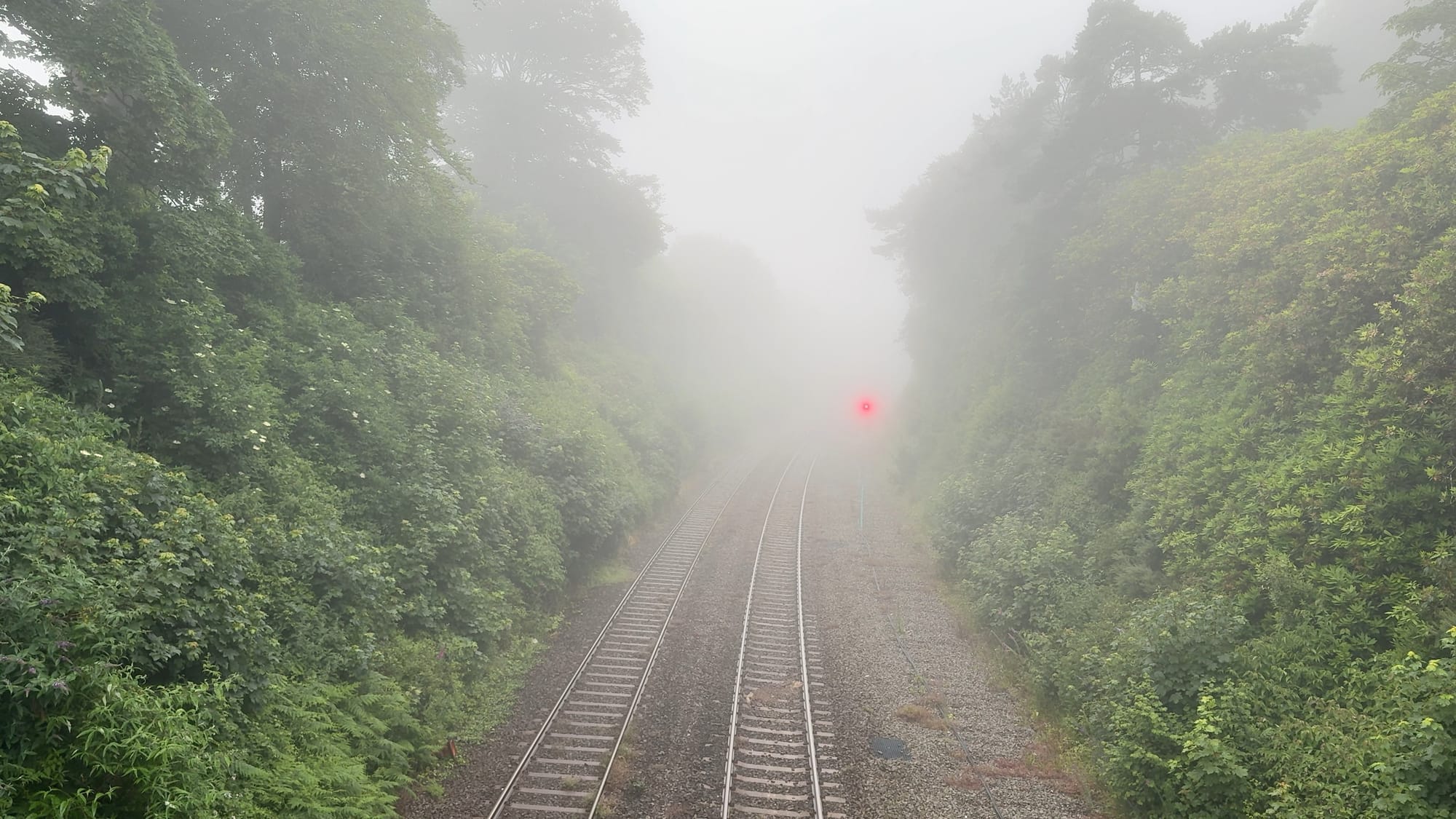
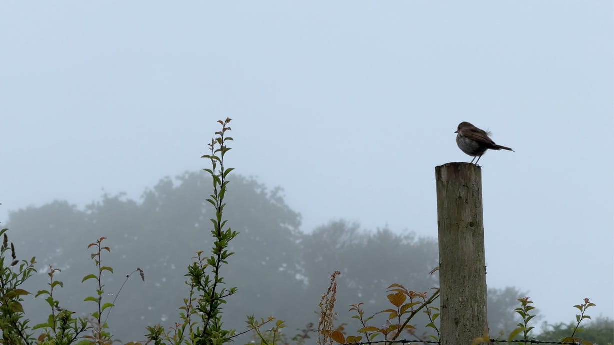
Any thoughts of some early morning sunrise views over St Austell Bay were quickly shattered upon waking up to a scene from The Fog. Honestly, up on the trails I could see about 20m in any direction at the top.
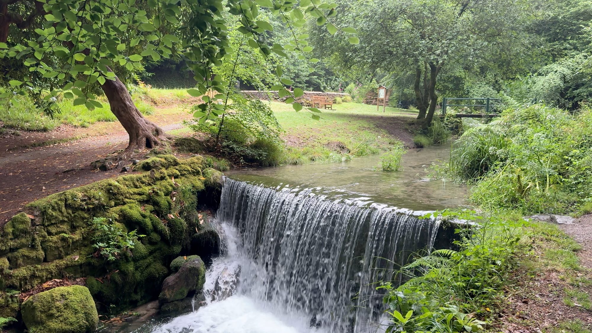
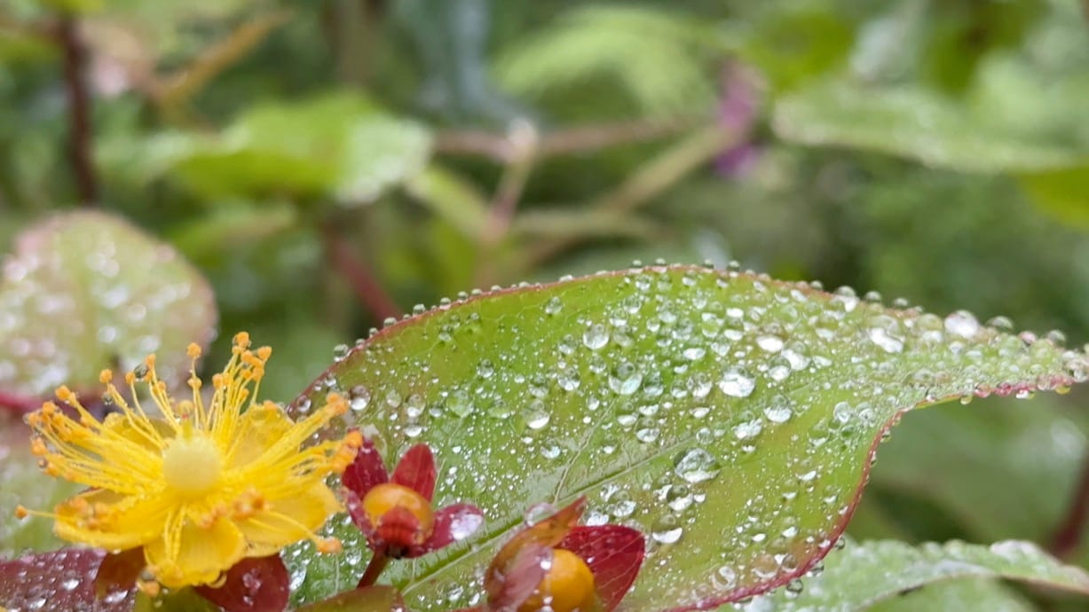
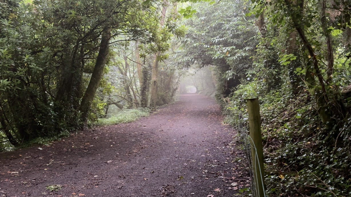
Although it's not on the path I had mapped out, I had to swing by Menacuddle Well. We found this place last spring after we moved down and it is stunning. If you visit in spring when all of the Tree Rhododendron are in bloom it's even better, but this weekend it felt more like a rainforest: very humid, lots of low cloud and mist.
I backtracked about 0.5km and picked up the Clay Trails path up to Carclaze Downs and then picked a path through Trethurgy, past the Eden Project and on to Luxulyan. Some of this section was on country roads so I had to be mindful of the traffic and to be honest I couldn't wait to get off them and onto a path again...
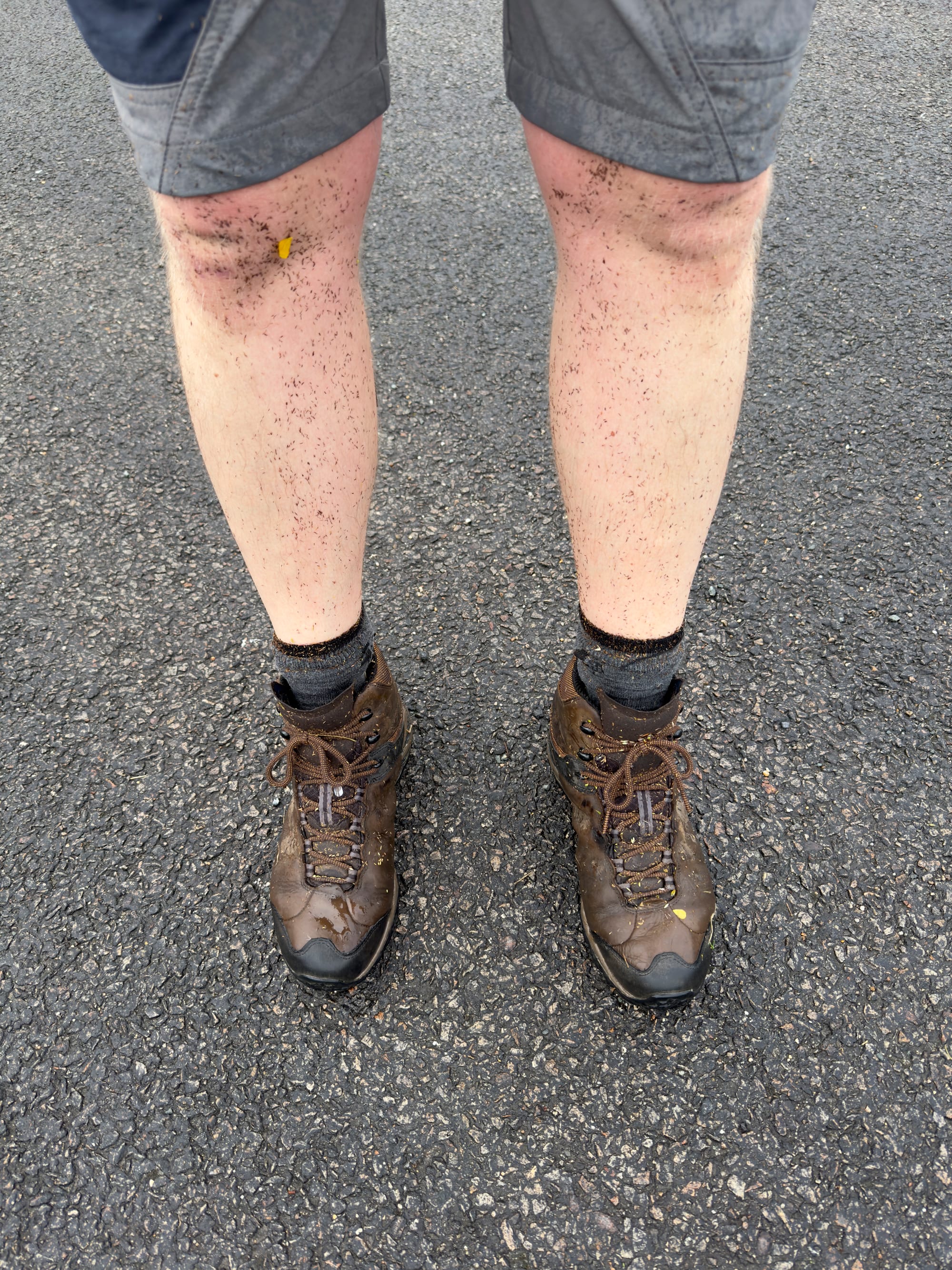
I should have been careful what I wished for. The road connected to a footpath again so I jumped over the stile and straight into a dew-soaked field of long grass... so that was my feet absolutely soaked for the rest of the walk. And yes, I had forgotten to re-apply waterproofing treatment to my boots (after a long time in storage...) and had forgotten to pack spare socks.
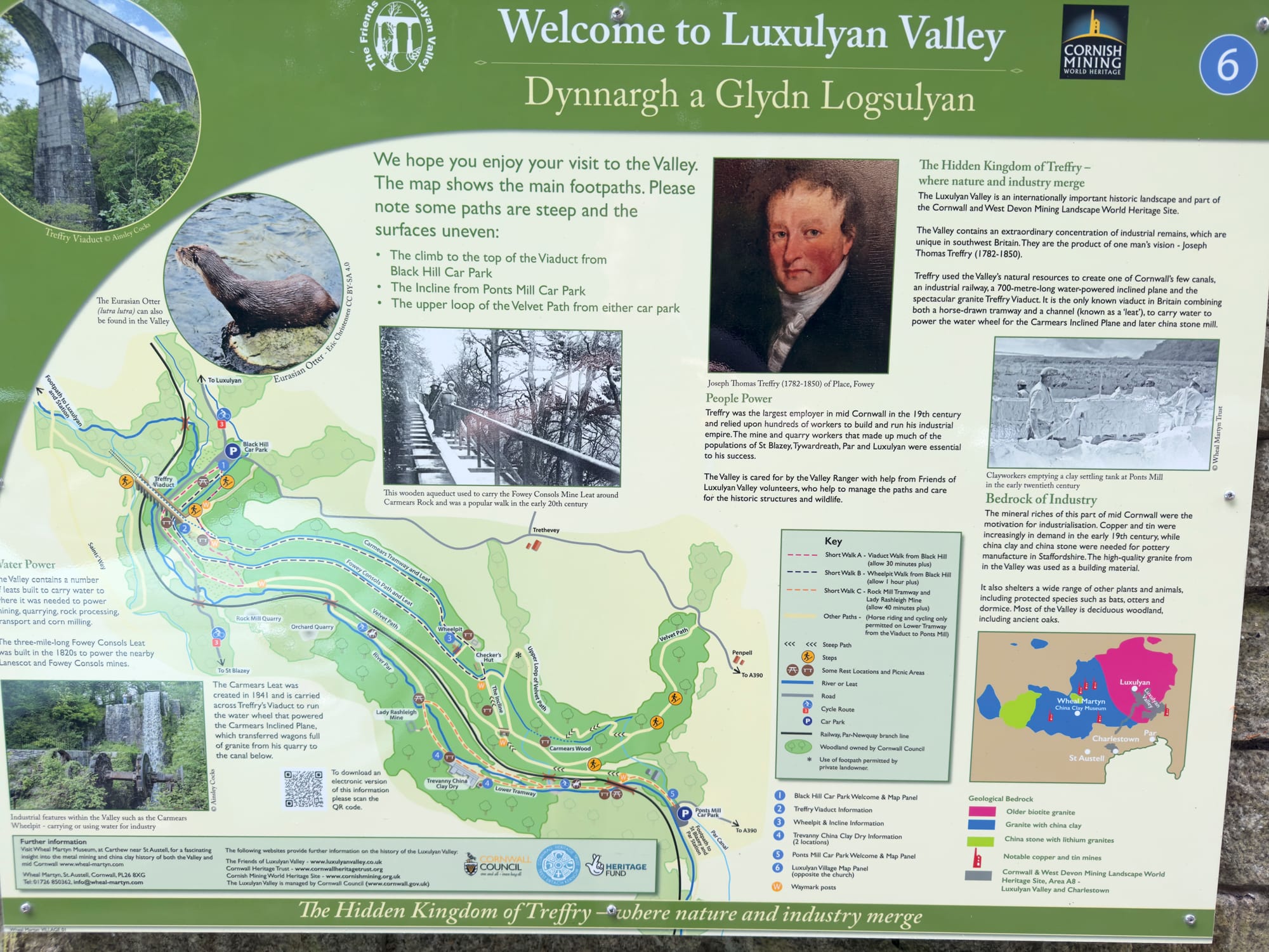
Luxulyan Valley
Next stop was Luxulyan and after another short road section I was back on the footpath and heading for the Treffy Viaduct. The footpath I picked up from Luxulyan was the Saints Way, a long-distance footpath from Padstow to Fowey that passes through the valley. It's about 30 miles from start to finish so I have added it to my future hikes list.
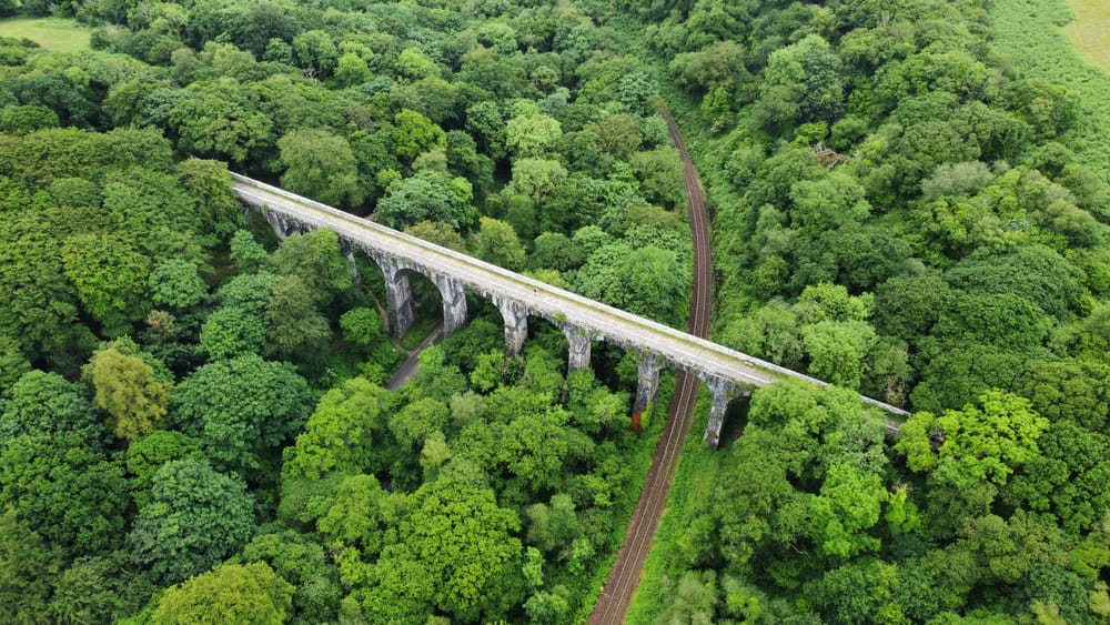
After crossing a few fields (and more wet grass!) some more woodland paths, the woods opened up onto the Treffy Viaduct and out came the drone. This location is stunning, but to be honest you only really get the full effect if you can see it from above. It's a nice path over the viaduct but the walls are high on each side and restrict the view.



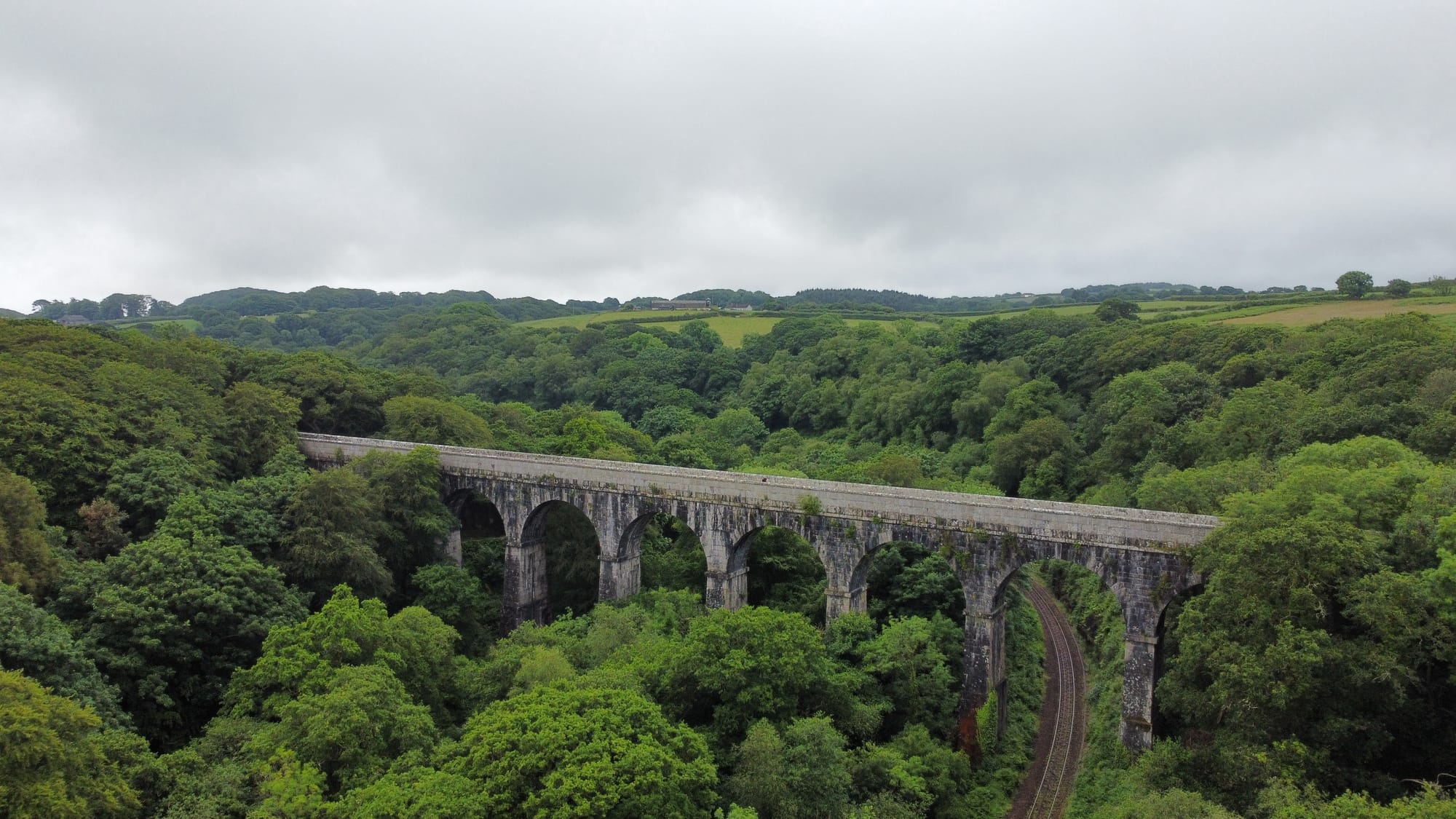
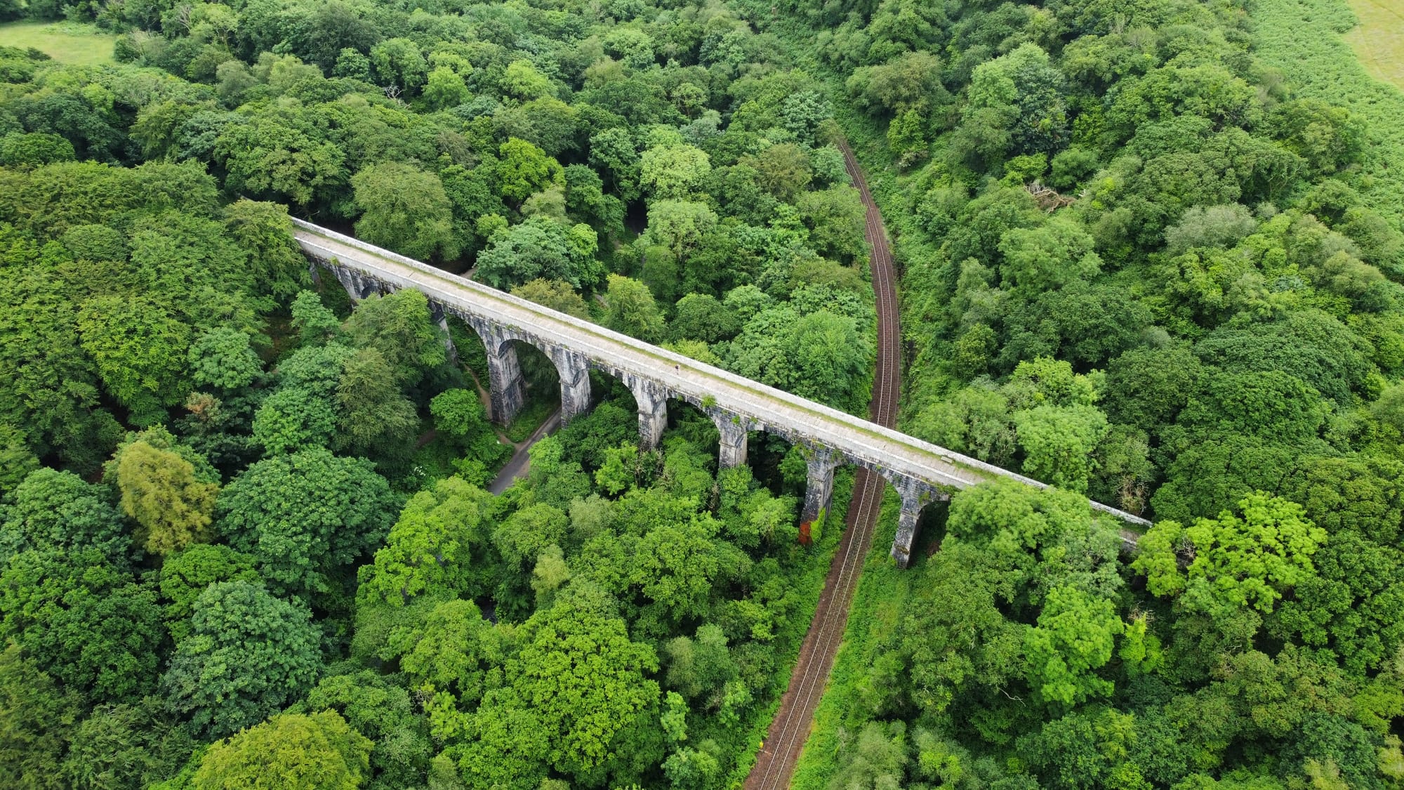
Saints Way, Luxulyan Valley and Treffy Viaduct
From the Viaduct the path headed towards St. Blazey and Par where I could pick up the South West Coast Path for the rest of the walk. A nice walk down through through what I assume is some pretty ancient woodland with lots of gnarled, moss-covered trees down to the Par Canal, which I would follow through St. Blazey, though Par and onto the coast... right? Well, not quite...
I was about 17km into the route at this point when I picked up the path along the canal at Ponts Mill, just put my map away and put my AirPods in and was suddenly greeted with a "Path closed" sign. Apparently a footbridge up ahead had failed and was scheduled to be fixed "some time within this financial year". That wasn't much help to me right now so I had to back track and take a detour which took me back onto a stretch of narrow country lanes with some blinds bends and then onto the pavement along the A390, which was distinctly less scenic than the route I had been on up to this point!
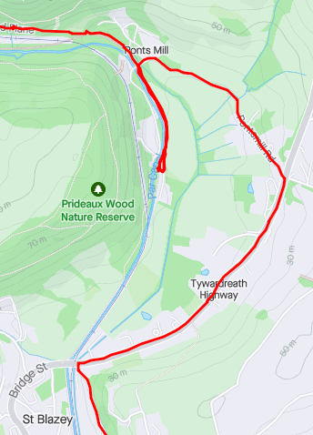
When I finally picked up the Par canal path again, I got to a level crossing which was down. Checked to OS map and saw that the path went down both sides of the canal, so I didn't need to cross and carried on... this turned out to be not quite true either.
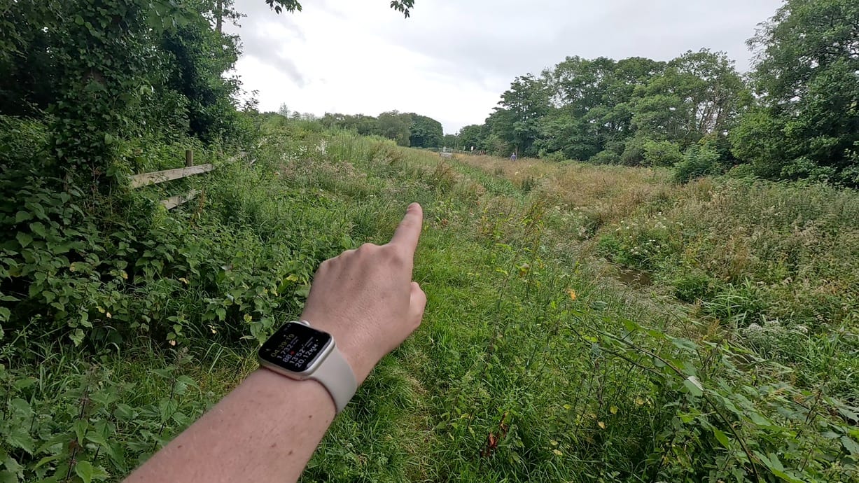
Although marked on the map as a path, it seems that only one side has been maintained... the opposite side to the one I was one. After a brief exchange with a friendly chap on the other side of the canal who told me "There's no path there, mate!" (yep, got that...) I backtracked and picked it up on the other side and eventually made it to the coast path at Spit Beach.
Par, Carlyon Bay and Charlestown (and the pub)
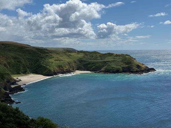
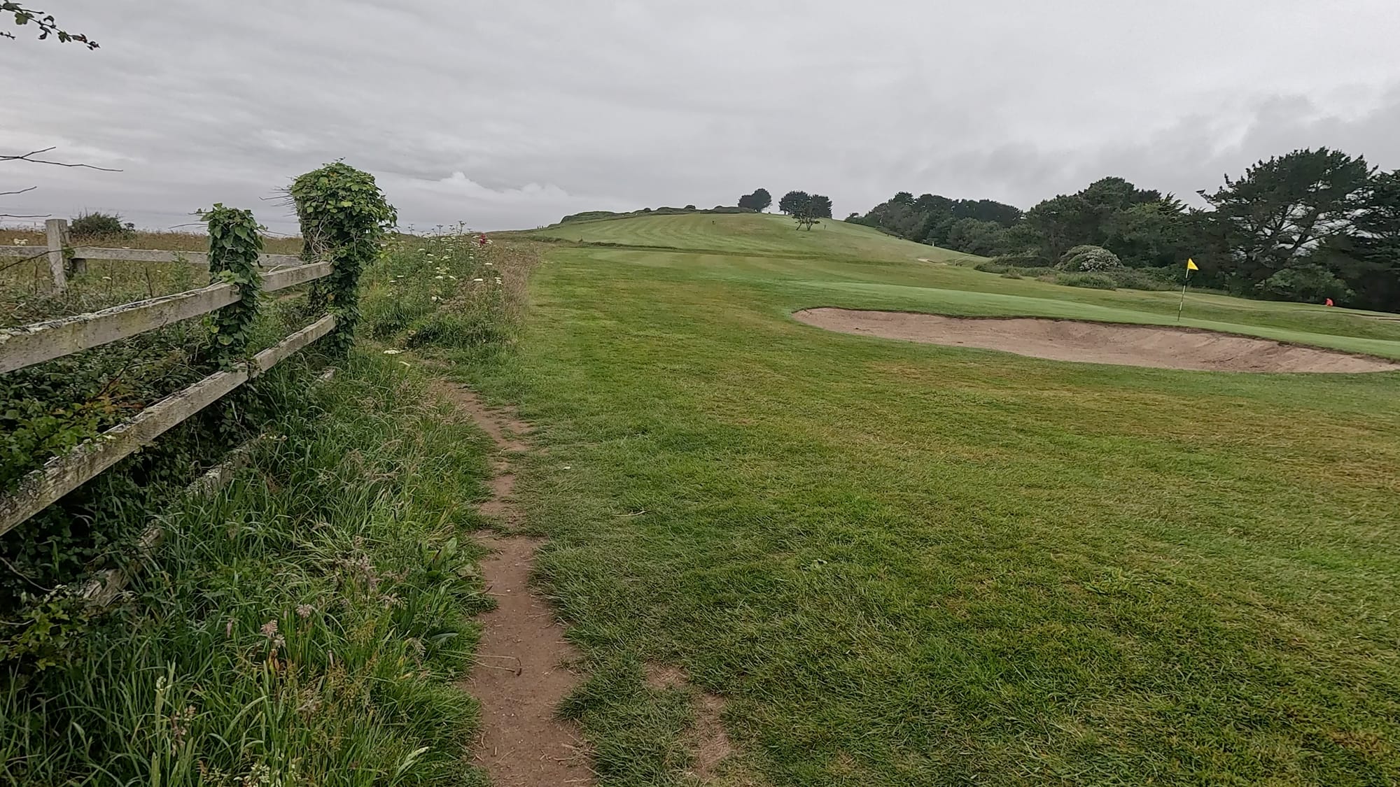
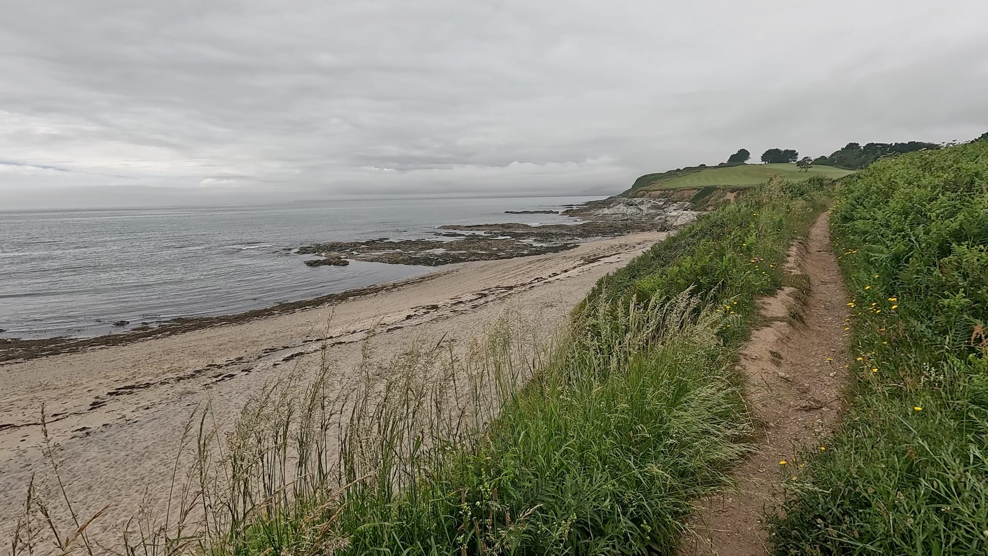
Once I was on the coast path it was plain sailing back into Charlestown. The path took me along Spit Beach, alongside the golf course and along the top of Carlyon Bay and then down into Charlestown.
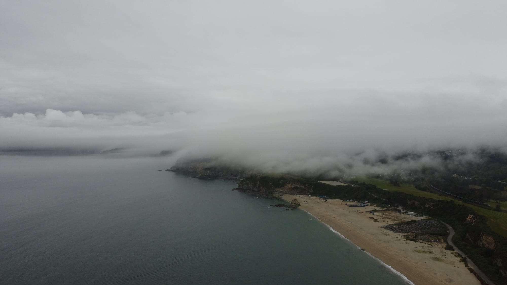
I got some pretty impressive footage from the drone again here, the clouds were still low and from the top of golf course at Carlyon the view of Charlestown being engulfed in cloud was definitely worth capturing. It really did look like John Carpenter's The Fog!
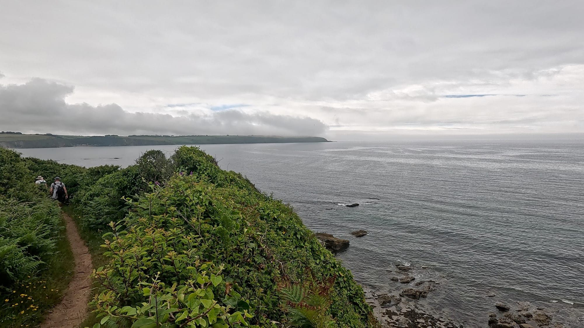
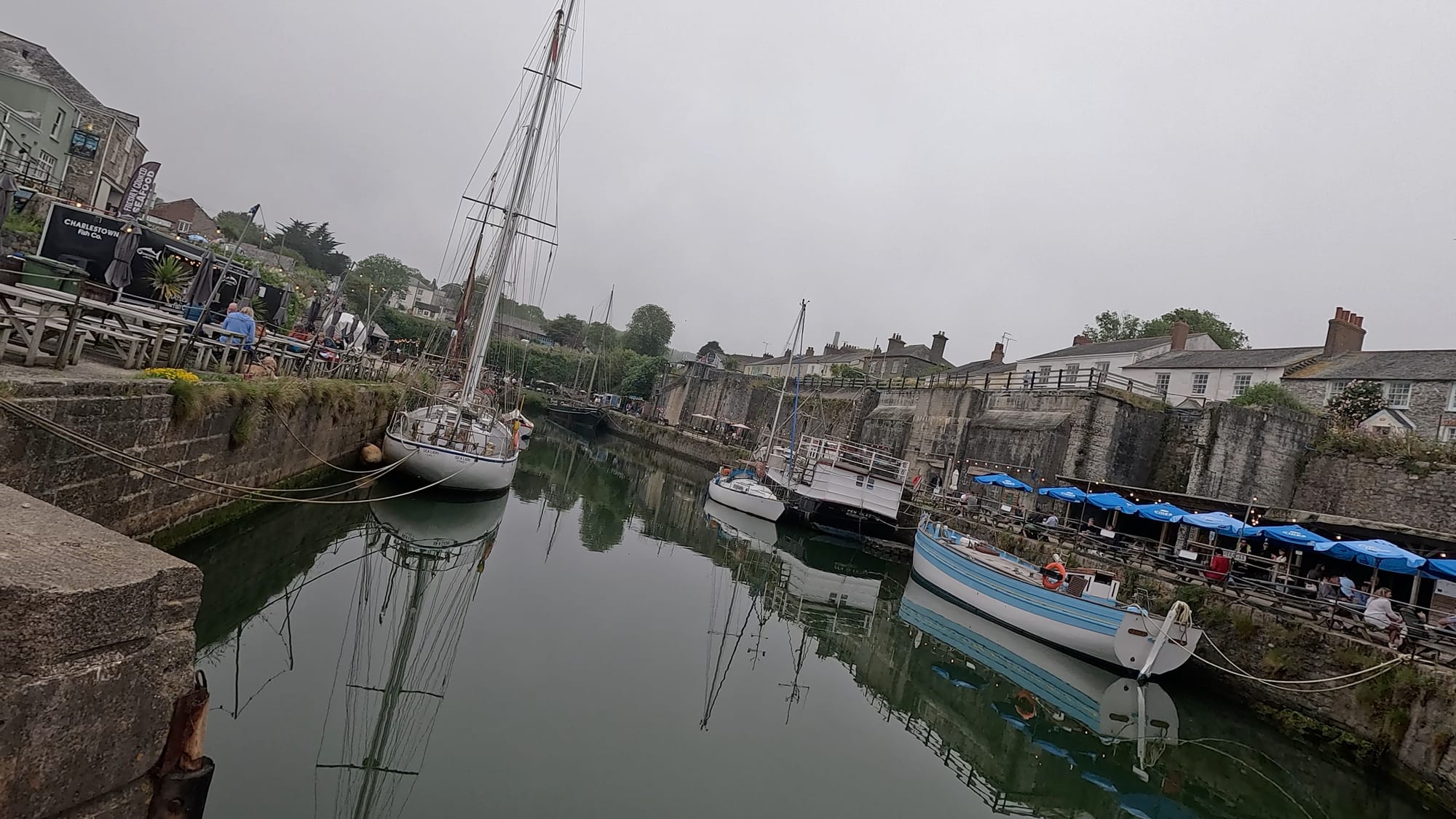
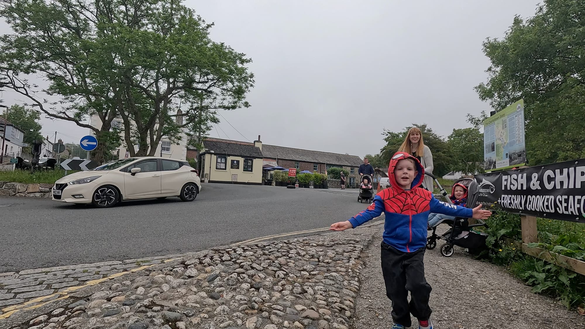
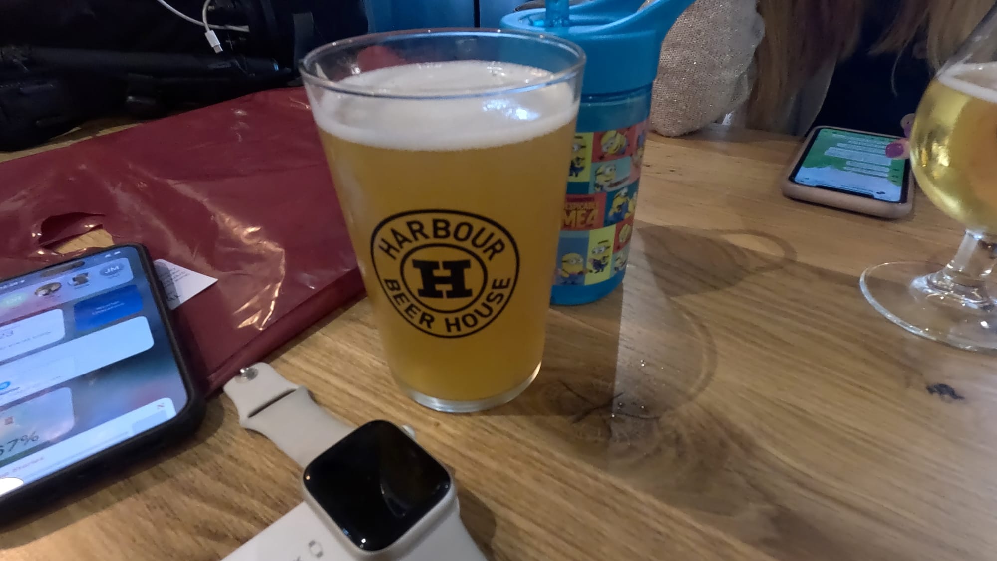
Once down into Charlestown I met up with Julie and the boys and our friends and hit a record fair on one of the Tall Ships in the harbour, the The Lady Daphne, where I spent too much money on some classic McCartney, Kate Bush and Michael Jackson before we all hit the newly-reopened Harbourside beer and pizza venue. No pizza this time but beer went down well after 27km!
That said, I felt pretty fresh after 27km. My legs felt good, feet were not aching (but were still soaked!) and I actually felt like I could do more, which is a good thing as the hike in August is about 14km on top of this. This route didn't have quite the elevation profile of the last one (of the Mighty Hike) so I can't get too complacent.
Will probably take a weekend off next week to plan the next route. As with last time, the whole thing was captured on my GoPro, iPhone and drone....
