South West Coast Path: Looe - St Austell
This weekend I completed my longest hike to date, not just in prep for the Mighty Hike but from what I can recall… ever.
In order to train for the Mighty Hike I need to up my distance with each walk I do in the build up to the day. The first route was around the 24km mark from St Austell to Mevagissey and back, the next one was a little further at 30km which took in Luxulyan Valley and Par to Charlestown on the coast path so I mapped myself a 40km route from Looe to St Austell this weekend.
This is pretty much the same distance as the actual event, and its pretty close to the same total elevation as well at around 1500m. For reference the UK’s highest peak, Ben Nevis, is 1345m so this route was not to be underestimated.
This is the route I had planned out:
I use a combination of Strava and OS Maps when I am planning a route. They both have great tools for drawing routes out and I think I'll be doing more of this with OS Maps going forward, its a dedicated mapping tool rather than a fitness tracker first, map tool second. Thankfully they both adhere to the GPX standard for creating and recording routes, so you can export from one and import to the other fairly easily.
Looe
My day stated with a 5am alarm and it was absolutely chucking it down outside. Nevertheless, having gotten my bag ready the night before (and an undistrubed night due to the kids actually staying in their own bed for a change!) I was undeterred by the weather and we were on the road at 5:30am en route to the start point at Looe. My dad kindly got up and gave me a lift to the start so I could do a linear walk and not have to loop back to pick the van up.
As we were driving the rain kept coming and I was starting to question my life choices, but I only have a handful of free weekends before the event so I neededto get this done. Plus what is the point in having all the gear to cope with whatever the weather can throw at you if you don’t use it, right?
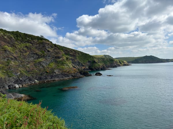
I set of from the bridge in Looe and headed down the coast path on the western side of the estuary and headed around the headland towards Polperro. The sun made an appearance and for about 40 mins it was glorious and then the heavens opened again. A quick stop to don the waterproofs and I carried on. There was plenty of blue sky around and the rain didn’t last long and it was way too worm to be walking in a waterproof jacket so I ditched the jacket as soon as I could. To be honest, I gave up trying to stay dry by the end of the walk; all my gear is quick-drying so I just decided to get wet to save faffing around.
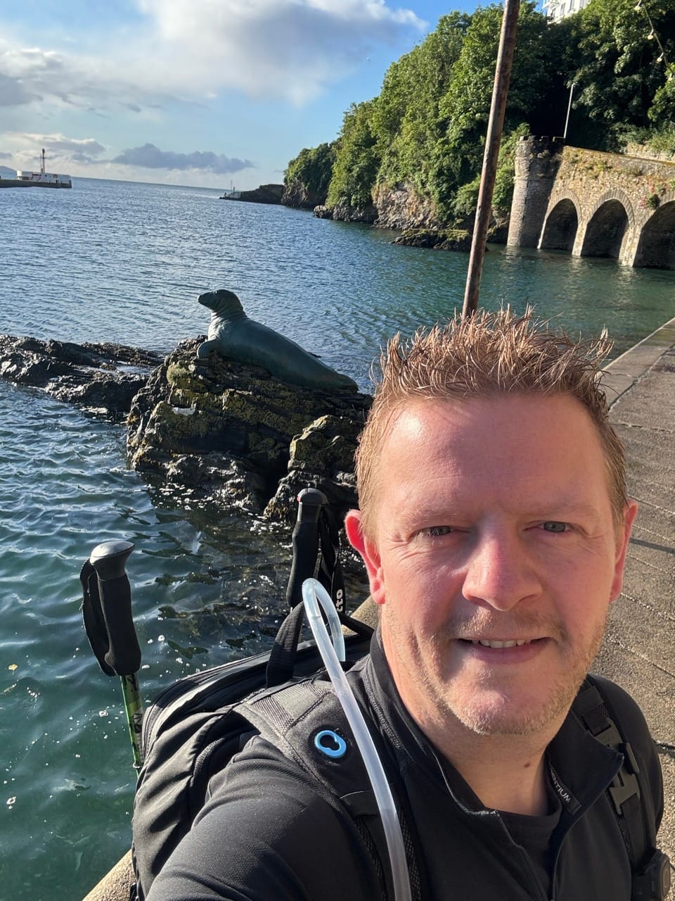

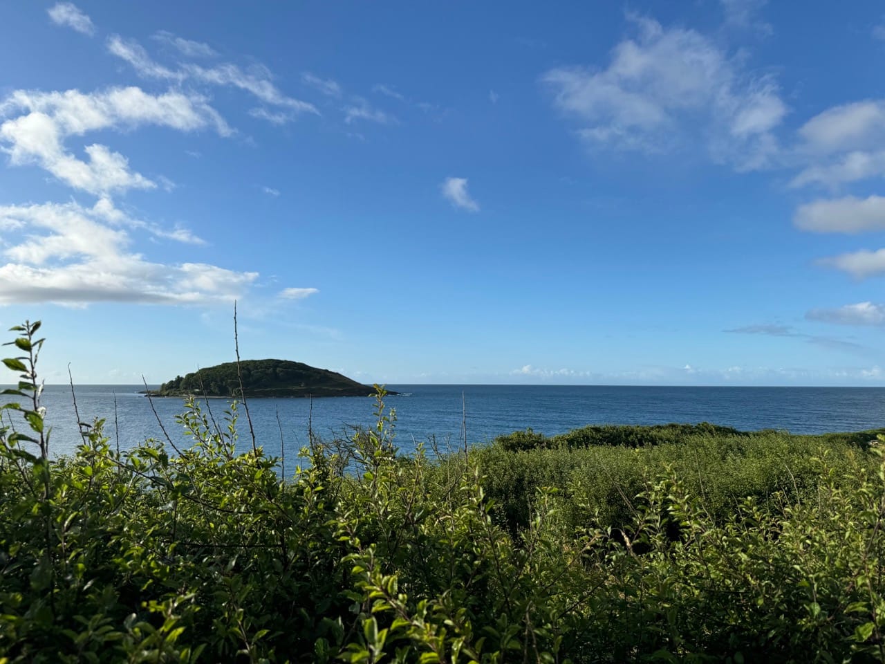
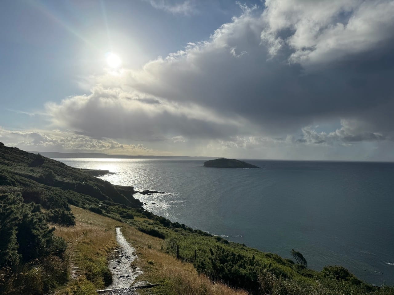
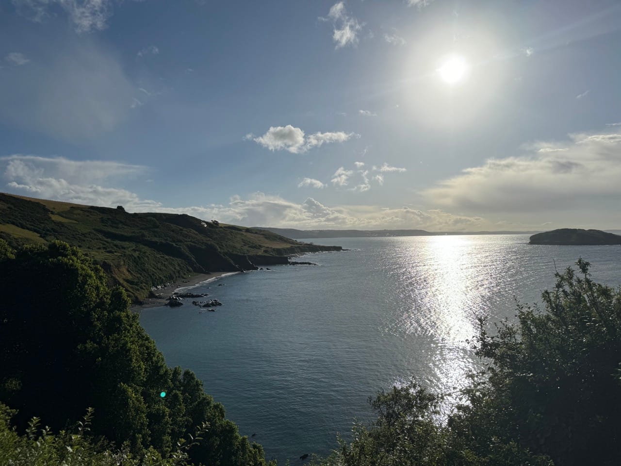
Tech fail… again.
It was about here that I discovered Siri doesn’t get sarcasm. In the middle of a very steep descent, with the follow ascent in full view another heavy shower started and the wind was nearly blowing me off the path. I must have paused for a little too long to adjust my walking poles because Siri helpfully chimed in with:
“Are you done with your workout?”
I responded with something along the lines of “Why yes, Siri, I am. Thanks for asking!” (there may or may not have been more swearing involved). She then proceeded to end my workout. Didn't think that one though. I started a new one immediately but I was annoyed that I would now have two workouts in Strava and would blow a few stats… walking never used to be this complicated. Anyway... I soon go over that, realising how ridiculous I was being and continued on to Polperro.
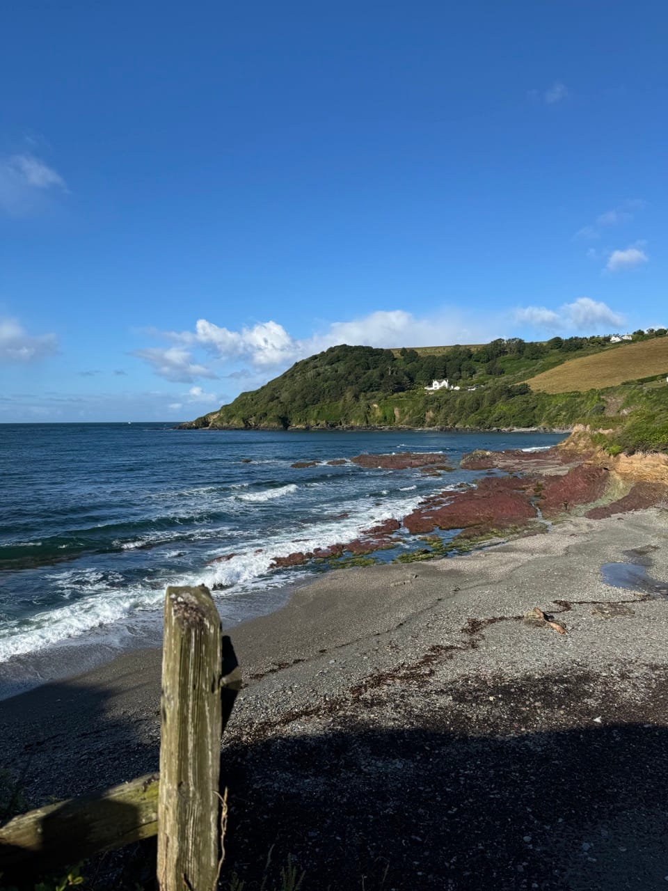
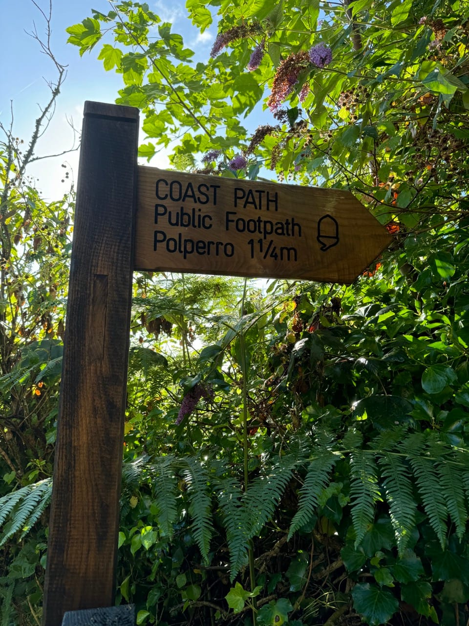
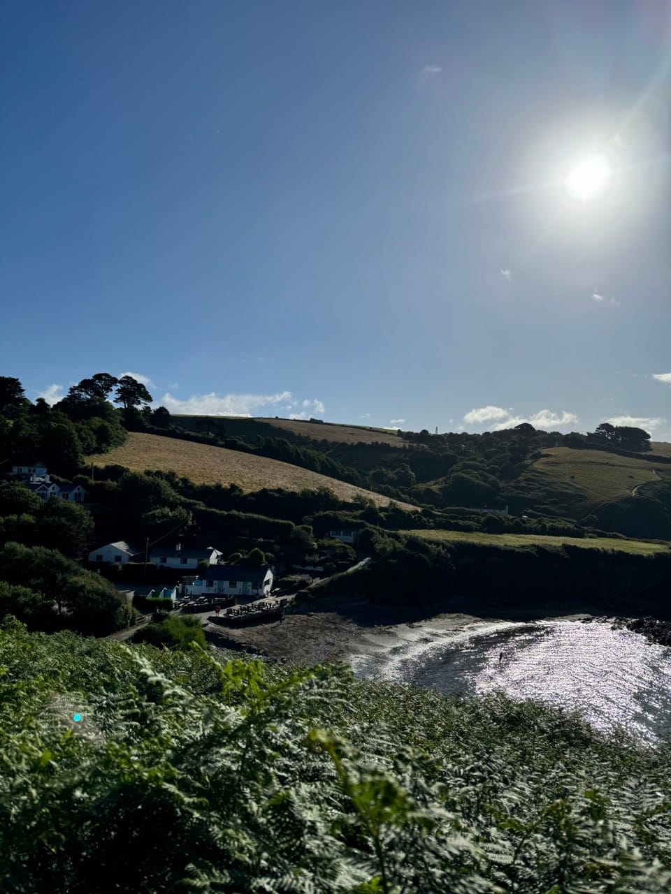
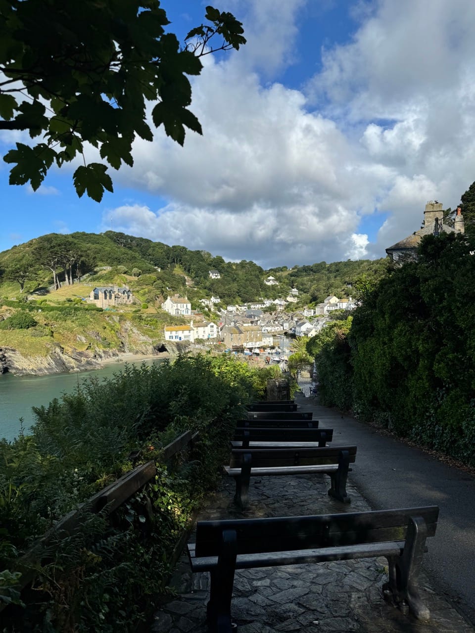
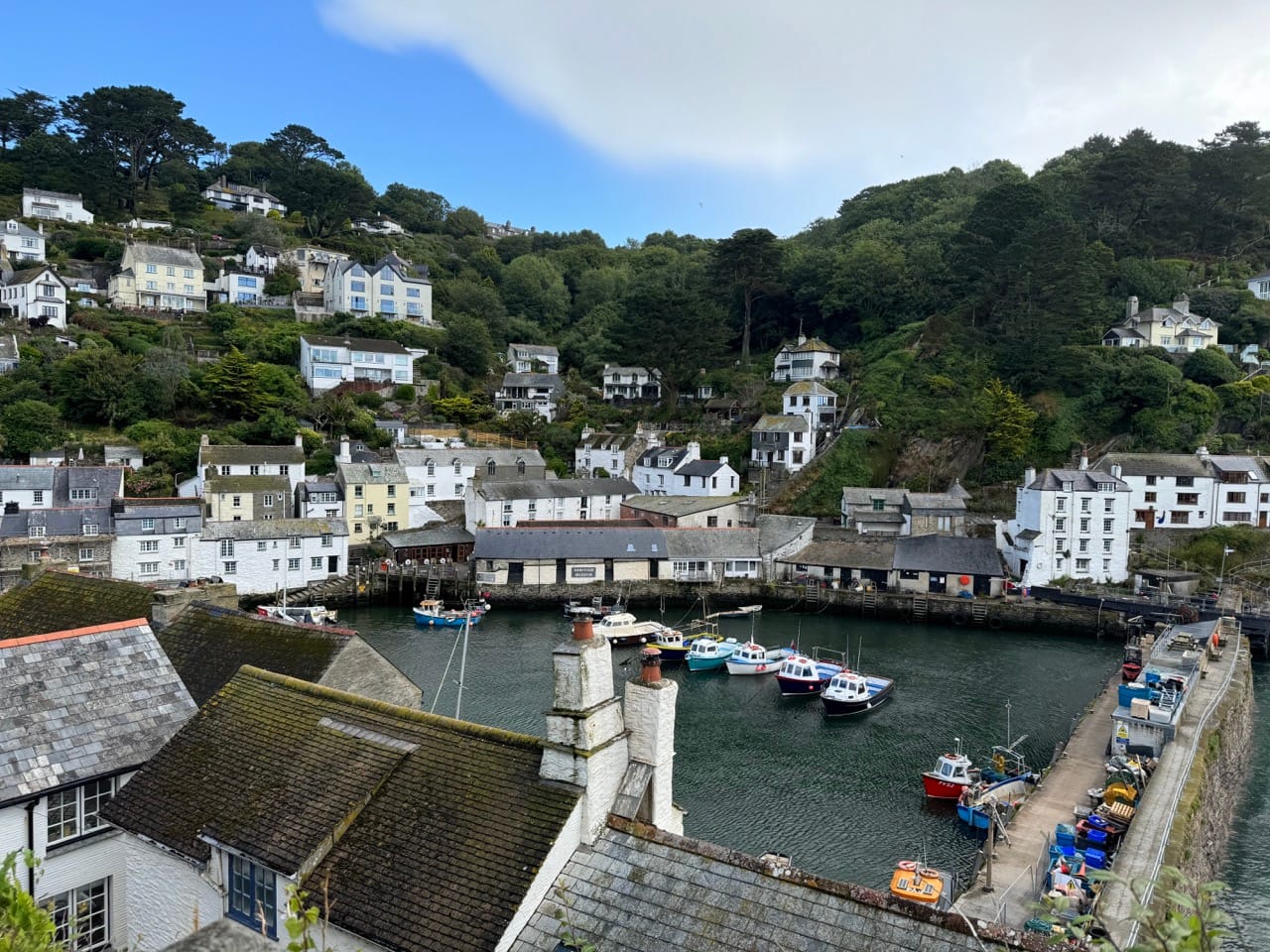
Polperro
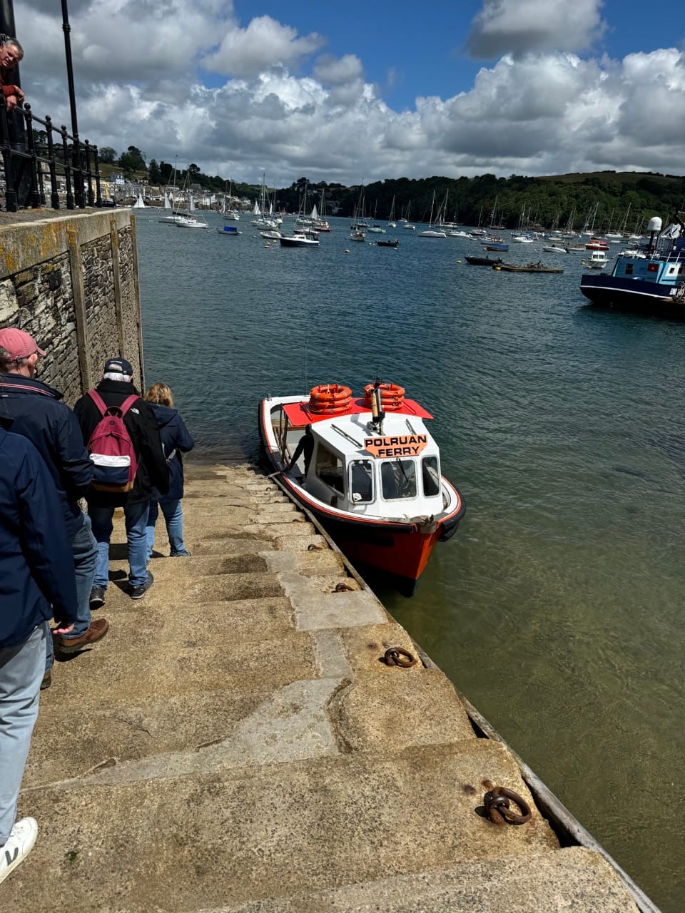
I arrived at around 8:40am so it was pretty dead with the exception of a few dog walkers. Nothing was open yet and I didn't really need to stop yet so I ploughed straight through the village and picked up the coast path on the other side and headed up and out and continued on towards Polruan (about 10km away), where I would need to catch the small ferry across to Fowey.
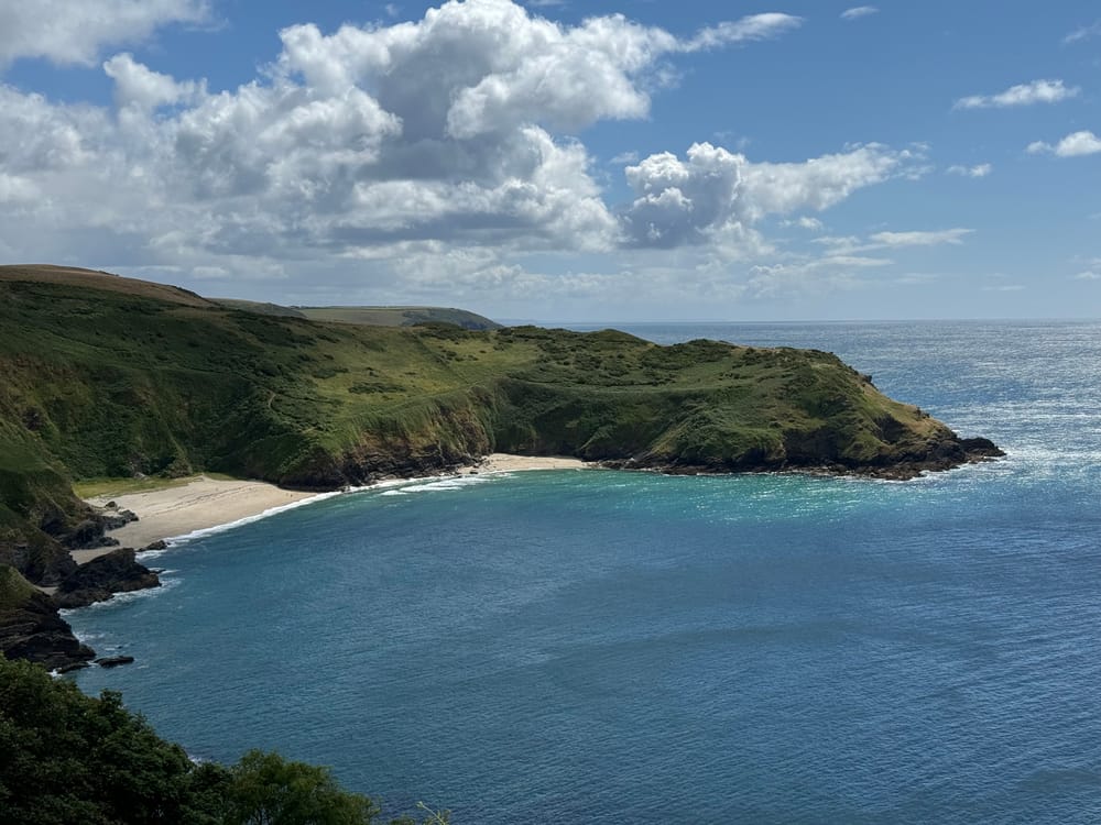
The scenery continued to be amazing, but I caught myself looking behind more than ahead as the scenery opened up more in that direction and I think in hindsight, walking from St Austell towards Looe might have been the better option. All that aside this stretch included some amazing beaches and coves like Lansallos beach in Lantivet Bay and the glorious Lantic Bay. On another day (and shorter route!) I would have climbed down to Lantic Bay and enjoyed it a bit more, but I still had many, many KMs to do so decided I didn’t need to add to the already ridiculous ascent and skirted around the top instead.
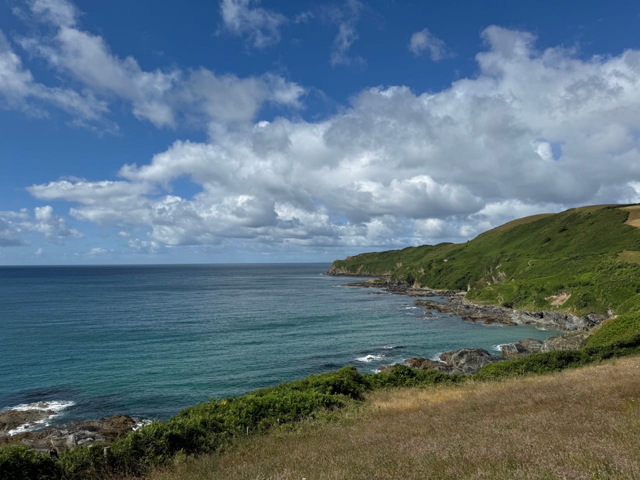
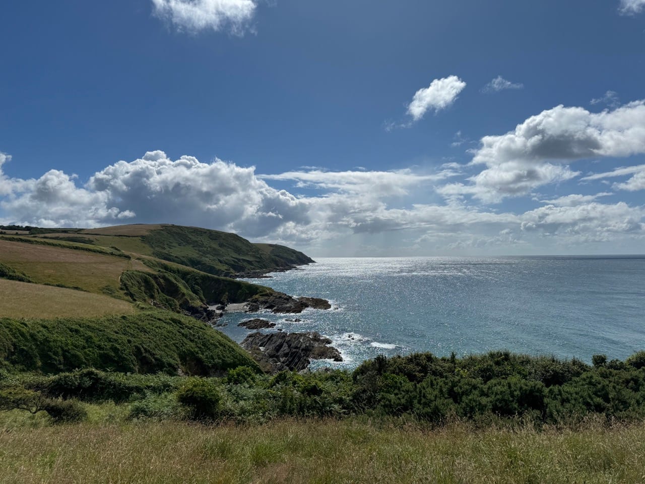
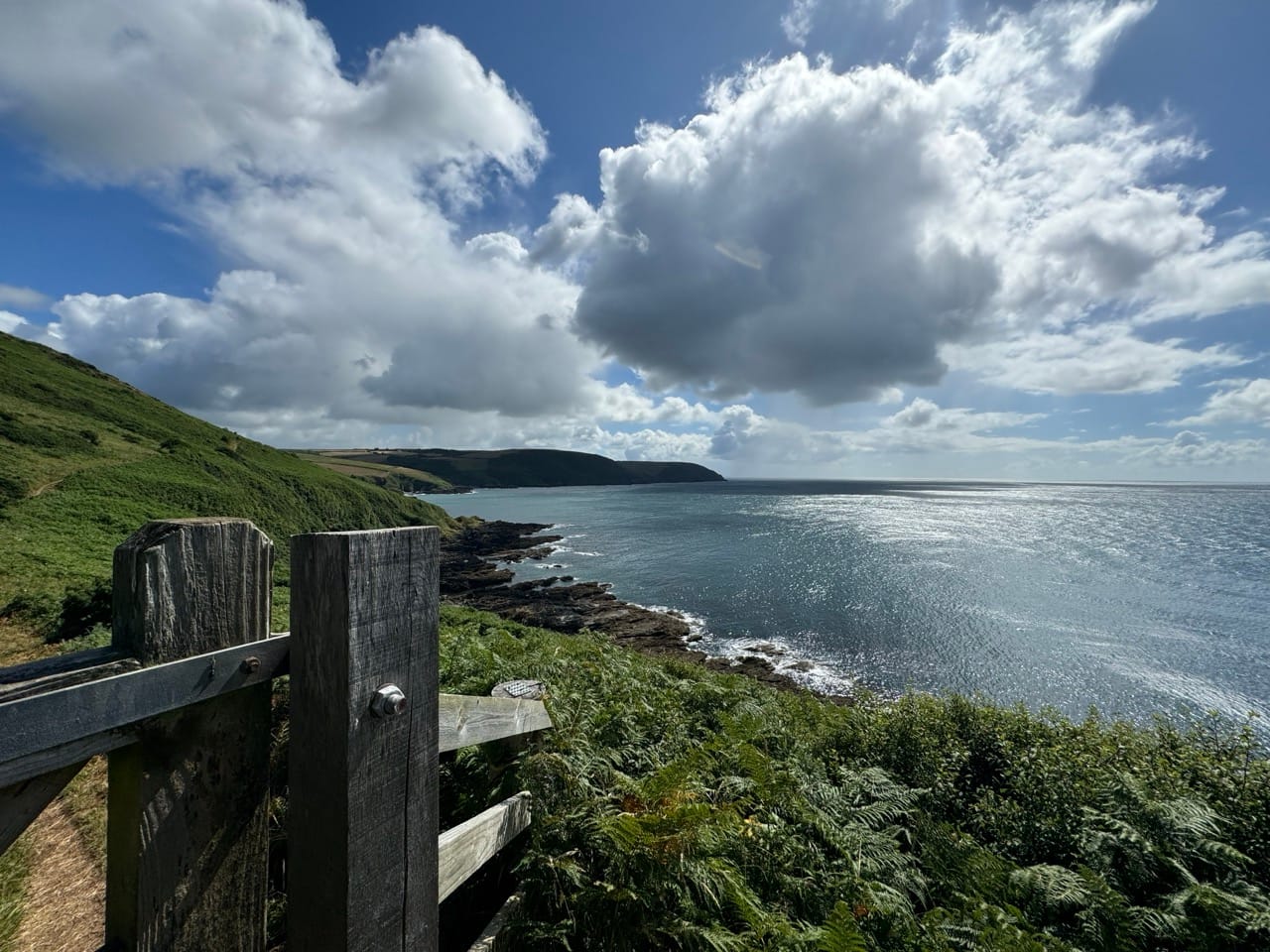
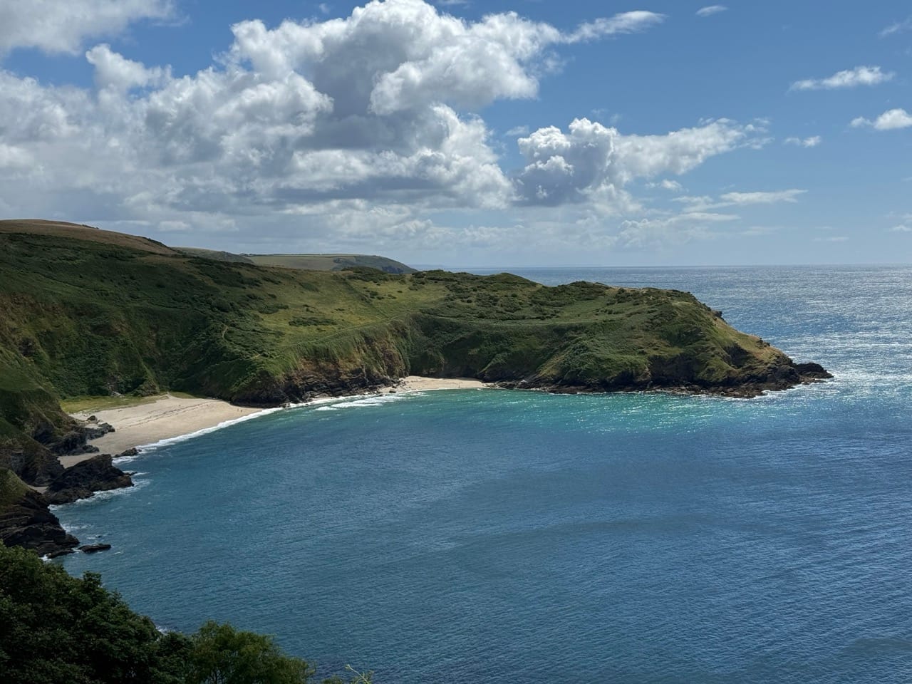
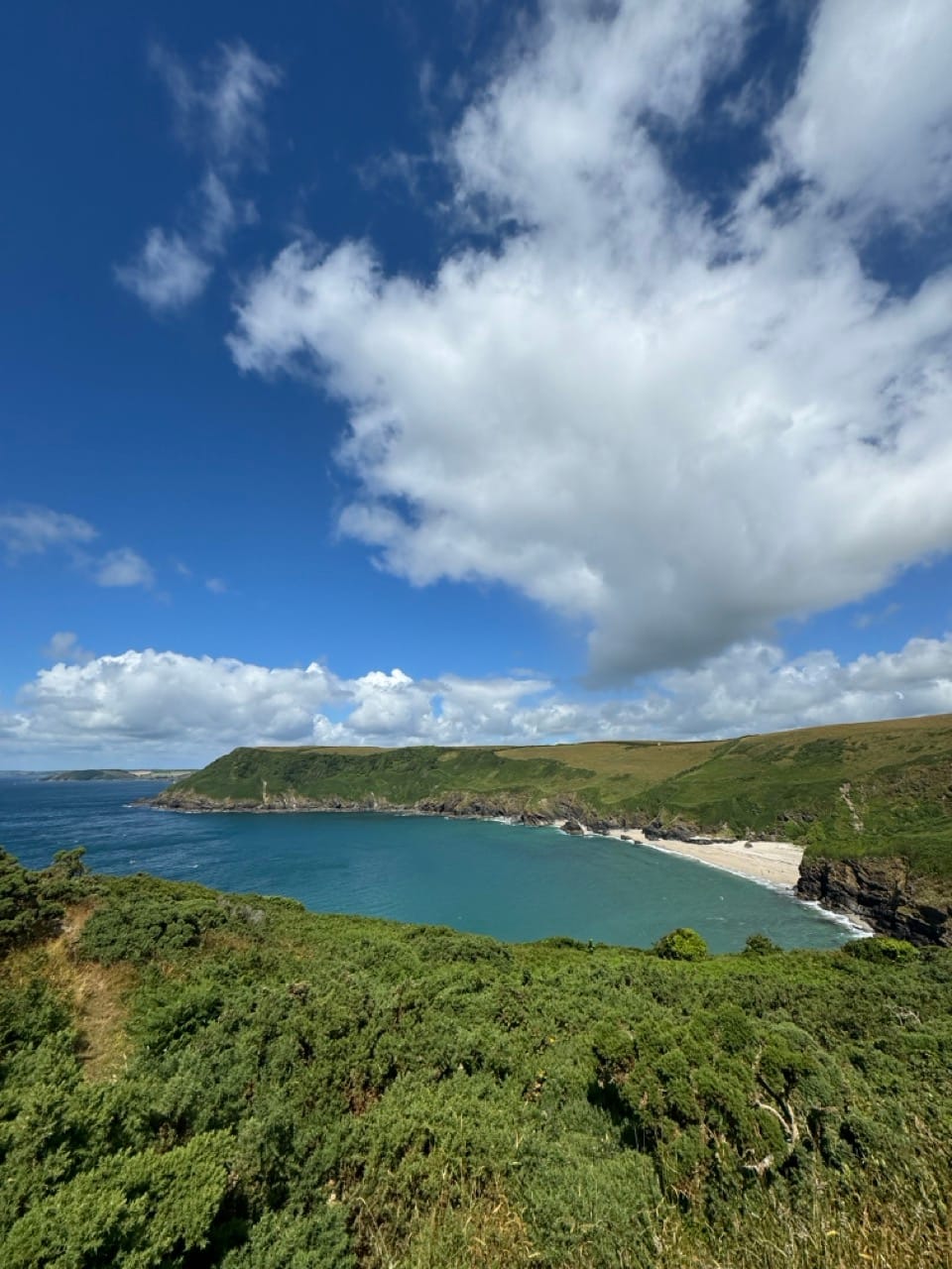
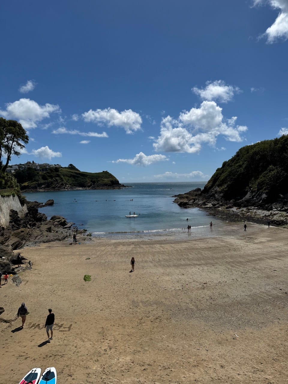
Fowey and Polruan
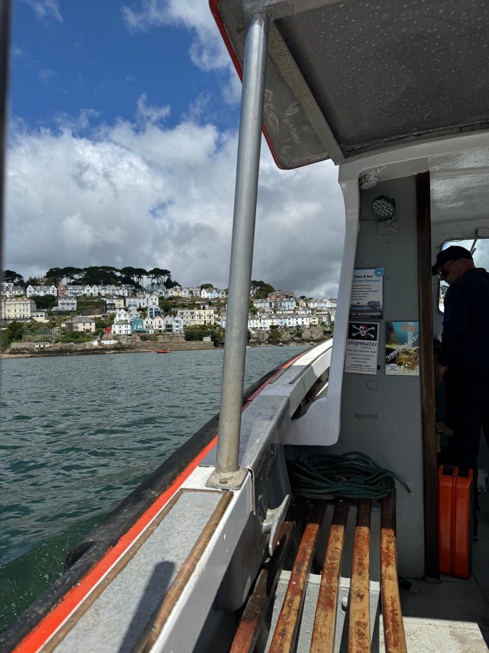
I got to Polruan for about midday and got the ferry over to Fowey at 12:15. Hopped off the Ferryin Fowey and picked up the path again and headed to Readymoney Cove where I picked up a pasty and drink in the little beach shop. I had been existing on energy gels and Nakd bars until this point an d thought a pasty would be a good idea. It wasn’t. Too heavy for me at this stage, not something I would do again… I’ll stick to the gels.
From Fowey next up was Menabilly and Gribben Head. At this point I was still feeling ok and I was about 21km in. I headed up through the woods from Readymoney and to be honest it felt like I was in the rainforest. The temperasure had risen to about 20c and after the rain earlier in the day, it was humid and I wished I had worn shorts or had zip off trousers (I had convinced myself I didn’t need them but I am adding those to the shopping list right now).
Menabilly
I dropped down from the woods above Readymoney and on to the beach at Menabilly, where I was confronted with probably the longest climb of the day back to up the monument at Gribben Head.
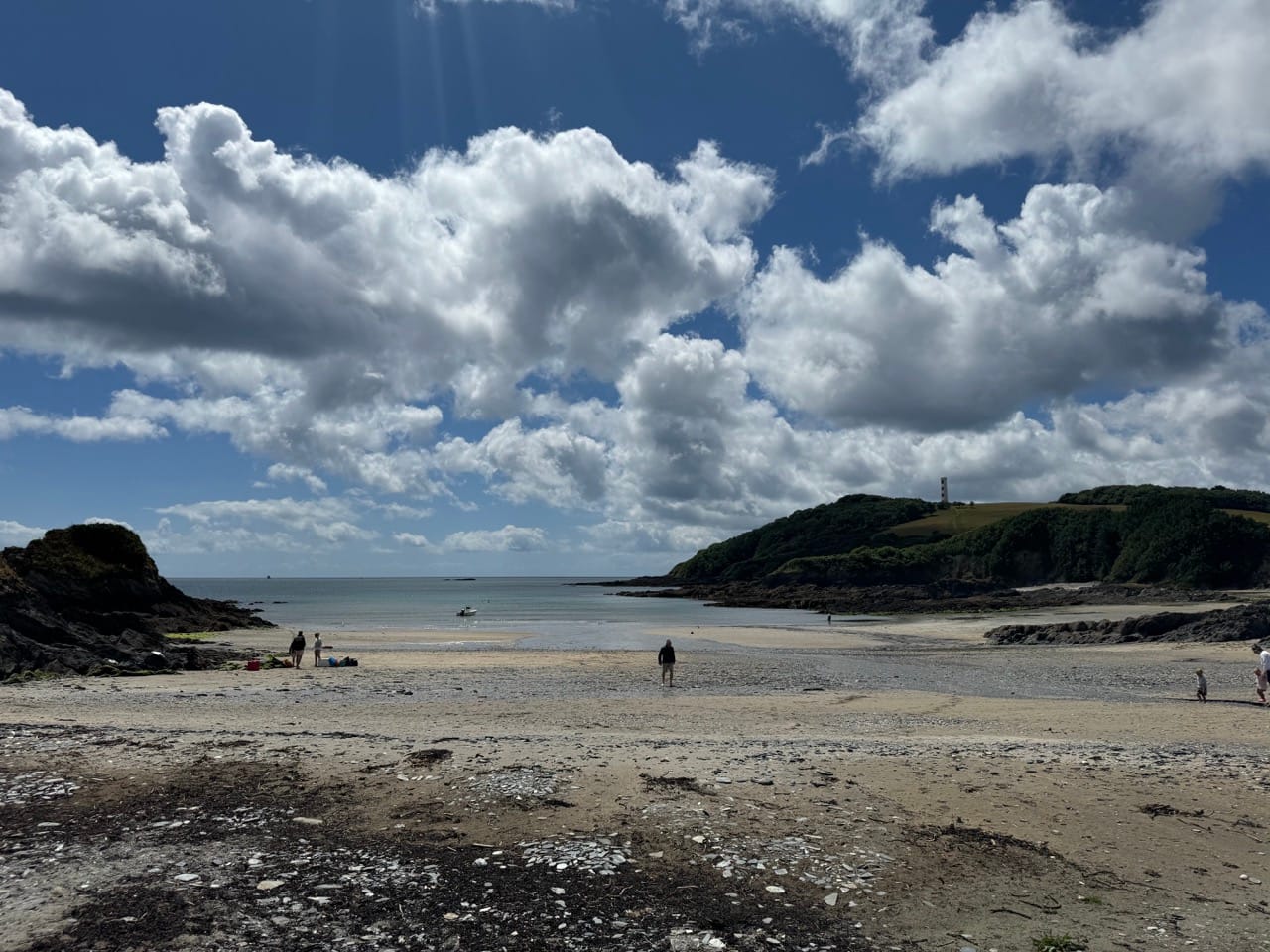
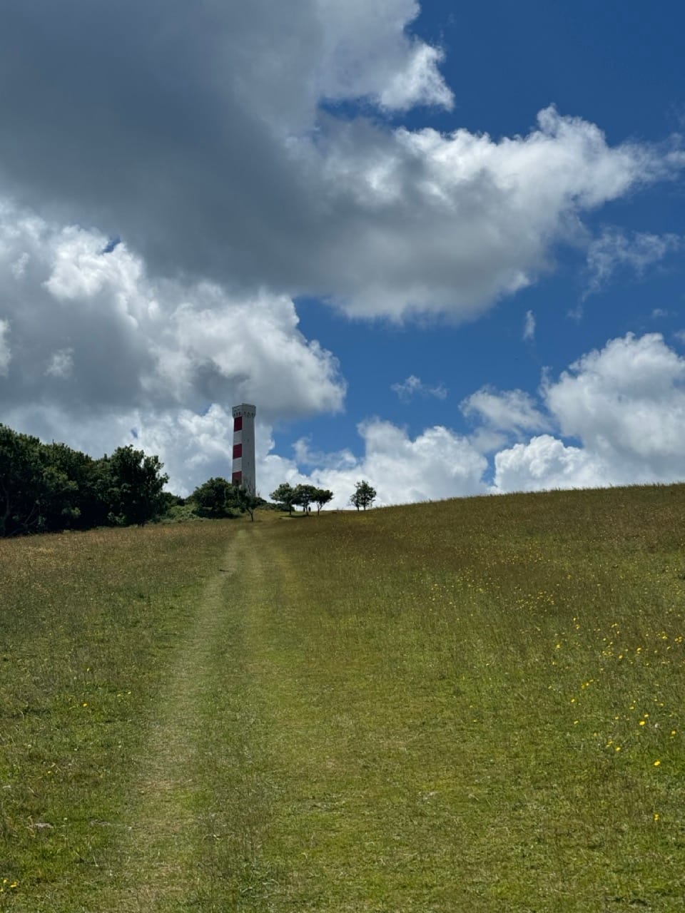
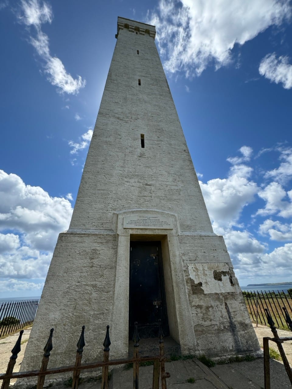
It was a slog in the heat but as I reached the top the wind was very strong, so I decided not to hang around too long and carried on towards Polkerris. At this point my watch told me that I had 10% battery left. I had tried to top it up while waiting for the ferry at Polruan but I really only managed 10 mins on the charger (not a fast charger either) so decided to get a stomp on to Polkerris where I could sit down for a bit and charge it enough to track me home.
As an aside, I've found that the Apple Watch S8 is not built for all day hikes. I’ve since read up on a few settings that can be changed to prolong the battery life on such hikes, but they all involve less accurate tracking. I briefly considered whether I needed to upgrade to an Ultra at some point, but to be honest that thought didn’t last long as it won’t be every weekend I’ll be doing 40km/10 hour hikes so the S8 will do me fine... for now. Honest.
Polkerris
I made my way along the path to Polkerris and this was the first point on the walk where I could see St Austell and Charlestown in the distance. I could pretty much see the rest of my route laid out in front of me and I’m not sure if that was encouraging or not.
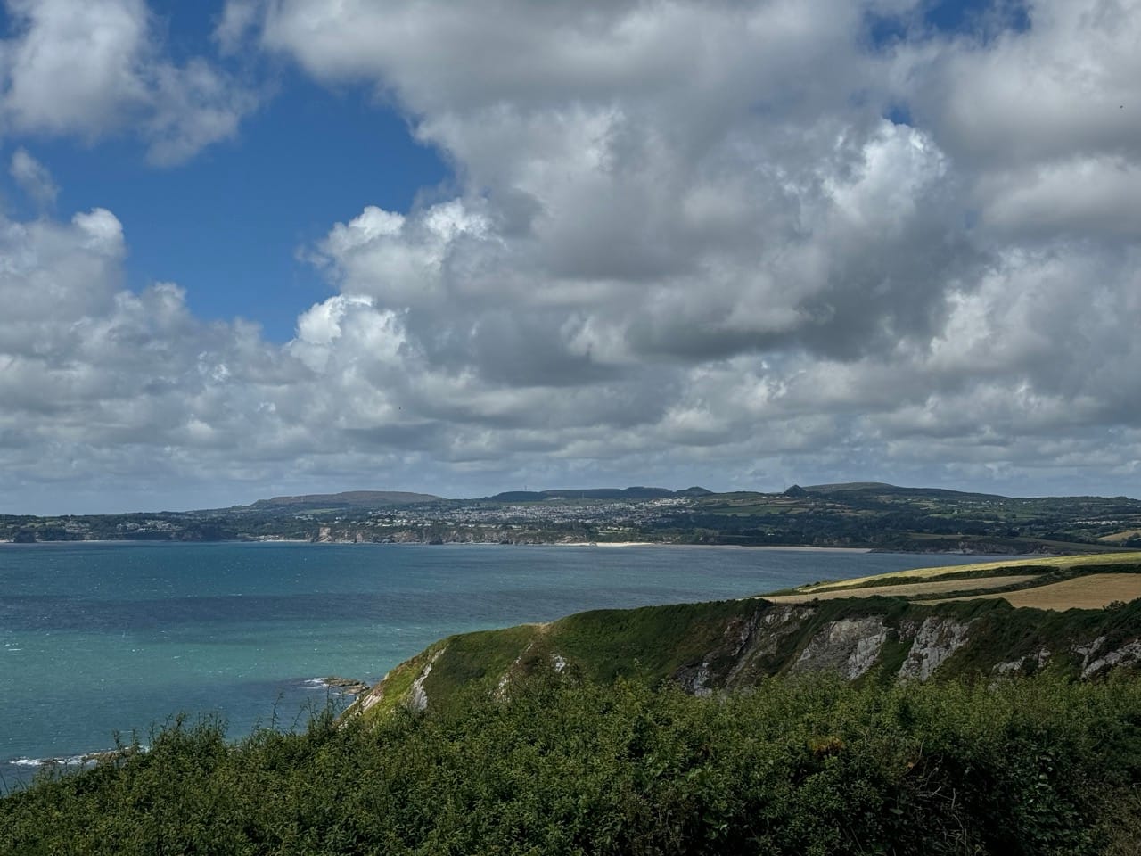
I dropped down through the woods into Polkerris where I stopped for a cold Fanta (I avoided the pub… l would have had no chance of finishing if I’d stopped for a pint at this point), sat down and charged my watch for a bit. The wind was getting up again and the skies were grey so I only hung around for about 20 mins before setting off again towards Par and Carlyon Bay.
It was a blustery stop at Polkerris, I could see the weather starting to close in and I knew the next hour or so o the walk would be a slog. I’ll be honest. The stretch of coast path around Par towards Carlyon is not the most inspiring due to the massive Imerys China Clay docks/plant/thing. It dominates the coastline and its pretty bleak. You just have to get through this bit to be honest, until you can pick up the footpath down the narrow lane and onto Spit Beach where you can pick up the proper coast path again and follow the golf course along the top of the cliff past Carylon Bay and on to one last climb up to the Coastguard Station near the Porth Avalen hotel. My original plan was to then drop down into Charlestown and take the road back out towards home. However, I decided I couldn’t be bothered with the extra descent/ascent so I took the route down Sea Road (past all the mansions!) and entered Charlestown at the top of the hill where I picked up Charlestown road and headed home.
...and home.
I made it back home at about 16:30 which gave me 30 mins before the England v Switzerland game to shower and pour a beer. Having been on the path since 06:30 I think I deserved one!
In total I clocked up:
- 39.24km
- 1319m elevation gain (Ben Nevis is 1345 so I didn't quite beat it...)
- 9h 8m moving time
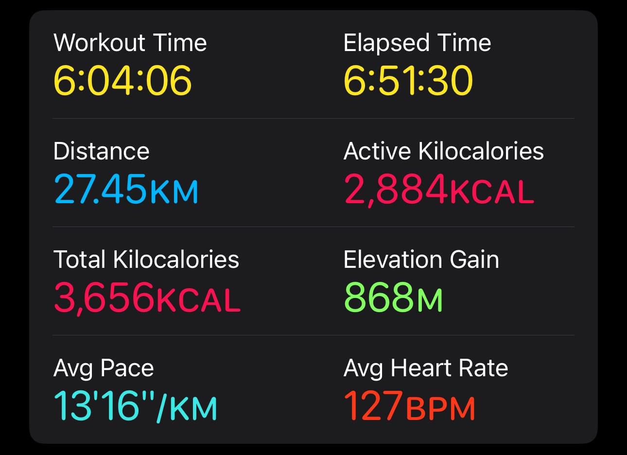
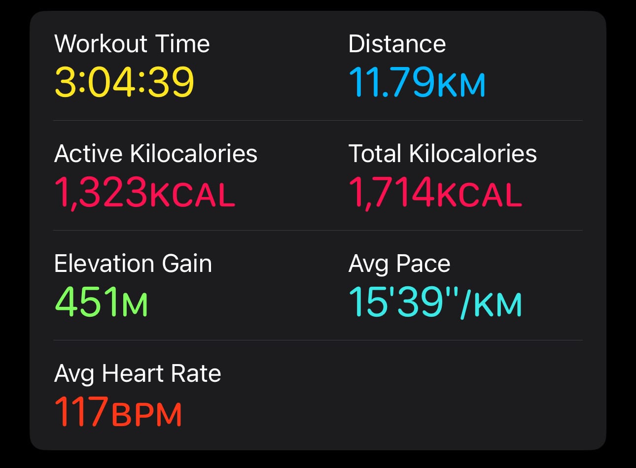
I don't think I will do another hike this long until I do the actual Macmillan event. This was more of a "can I do this without my knees giving up?" and a bit of a kit test. Both things passed so I'm looking forward to the Mighty Hike now... sort of!
I'll have a weekend off after this as we have guests next weekend, but I'll be planning another (slightly shorter) route for a couple of weeks time.

